 Senboku: Akita - Route 46 - Kitakizawa
The landscape around Senboku is defined by heavily wooded foothills of the Ōu Mountains, which have shaped both the built environment and local life. This extensive municipality in eastern Akita Prefecture includes Lake Tazawa, Japan’s deepest lake, and the former castle town of Kakunodate. Kakunodate is known for its preserved samurai district and rows of weeping cherry trees, a legacy of its Edo-period townscape. National Route 46 crosses the Ōu Mountains through Senboku, linking Akita City with Morioka in neighbouring Iwate Prefecture. Further into the mountains, the Nyūtō Onsen area is associated with a group of traditional hot-spring inns. Together, these places give Senboku a character that moves between wooded road corridors, lakeside terrain and historic urban streets.
Generated by AI


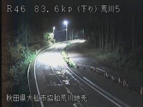
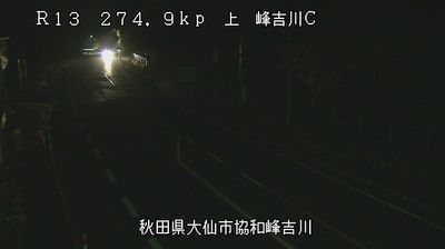

Senboku has served as a municipality in Akita Prefecture since 2005, when Kakunodate, Tazawako and Nishiki were merged. Across its broad territory, Lake Tazawa—the deepest lake in Japan—lies below the volcanic slopes of Mount Akita-Komagatake in the Ōu Mountains. The Tazawako area includes Nyūtō Onsen, a group of traditional hot-spring inns in the mountains. Farther west, Kakunodate retains the street plan and samurai residences of a former castle town, and its weeping cherry trees are a major spring draw. The bronze Tatsuko statue on Lake Tazawa refers to a local legend and is one of the lake's recognisable landmarks. Find related webcams in the surrounding area to build a fuller picture of Senboku and Akita Prefecture.
3 webcams
Among the regions of Japan, Akita Prefecture stands out for its snowy winters, extensive rice plains and Sea of Japan coastline. The Ōu Mountains shape much of its eastern side, while the Omono River runs through the interior towards the coast. Rice cultivation remains central to local life, reflected in the well-known Akita Komachi variety. In Akita City, the annual Kanto Matsuri features performers balancing tall bamboo poles hung with lanterns. Semboku’s Kakunodate district preserves streets lined with former samurai residences. Discover other points of interest through webcams located across Akita Prefecture.
17 webcams
Among the countries of East Asia, Japan stands out for its volcanic archipelago, stretching from the cool north of Hokkaido to subtropical Okinawa. Mount Fuji, the nation’s highest mountain, rises above central Honshu, while the Pacific Ocean and the Seto Inland Sea have long shaped settlement, fishing and travel. Tokyo pairs dense urban life with major museums and neighbourhood traditions; Kyoto preserves temples, gardens and the legacy of Japan’s imperial court. Seasonal customs give journeys a changing rhythm, from spring cherry blossom viewing to autumn leaves. Regional cooking is equally varied, with sushi, ramen and local specialties reflecting coastlines, climate and agriculture. Explore nearby webcam locations that provide complementary perspectives on Japan’s islands, cities and mountain regions.
1.3K webcams