 Hellendoorn: Nijverdal
Hellendoorn lies along the Regge valley, where the wooded ridges of the Sallandse Heuvelrug rise above the flatter farmland of Overijssel. The village stands beside the Sallandse Heuvelrug National Park, a landscape of forest, heath and sandy ground. Hellendoorn is closely associated with Avonturenpark Hellendoorn, a family amusement park that began as a tea garden in 1936. Its village streets provide everyday services close to the rural surroundings, while nearby Nijverdal forms another main settlement at the foot of the hills.
Generated by AI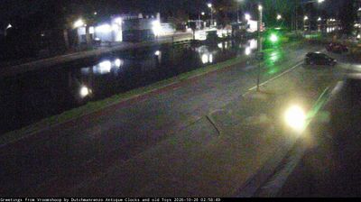


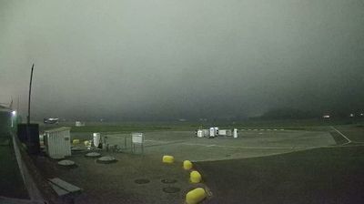
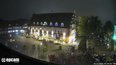


Hellendoorn lies between the Regge River and the wooded, heath-covered Sallandse Heuvelrug in Overijssel, a position that has kept the town connected to lowland waterways and higher sandy ground. Nearby Sallandse Heuvelrug National Park protects one of the Netherlands’ largest continuous heathland areas, crossed by walking and cycling routes through rolling moraine terrain. In town, Avonturenpark Hellendoorn grew from a tea garden opened in 1936, continuing a local tradition of recreation. The Regge links Hellendoorn with the broader Twente-Salland countryside, where meadows, small woods and settlements follow the river corridor. Browse webcams around Overijssel to see how Hellendoorn fits into the wider Regge and Salland landscape.
1 webcam
Overijssel has served as an eastern frontier region within the Netherlands since the Middle Ages. Its name, meaning “across the IJssel,” reflects the river that marks much of its western side, while the province extends east toward the German border. The Hanseatic cities of Zwolle, Deventer and Kampen developed through trade on the IJssel and still preserve historic centres shaped by that mercantile past. To the northwest, the peatlands, reed beds and waterways of Weerribben-Wieden National Park contrast with the wooded Salland and Twente interior. Cycling routes, waterways and compact cities make Overijssel an engaging introduction to the Netherlands beyond the Randstad. Browse additional webcams from the surrounding area to extend your view of Overijssel.
4 webcams
Among the countries of northwestern Europe, the Netherlands stands out for its carefully managed lowlands in the Rhine–Meuse–Scheldt delta. Much of the country lies low in relation to the sea, and dikes, dunes, pumps and polders are integral to its everyday geography. The North Sea coast ranges from broad beaches to the Wadden Sea, a tidal area shared with Germany and Denmark. Amsterdam’s 17th-century canal ring recalls an era when Dutch trade connected the republic with ports around the world. Beyond the capital, bicycles, dairy farming, bulb fields and compact historic cities give the country a distinct rhythm. Rotterdam’s port and the Delta Works show how maritime commerce and water engineering remain central. View additional webcams nearby to better understand how the Rhine–Meuse–Scheldt delta relates to its North Sea surroundings.
132 webcams