 Deventer: Handelskade - Brinkgreverweg
The landscape around Deventer is low-lying and shaped by the River IJssel, which has influenced both the built environment and local life. Brinkgreverweg and Handelskade belong to a newer part of a city whose compact historic centre developed beside this major Dutch river. Deventer was an important member of the Hanseatic League, and river trade long defined its role in the region. The medieval Lebuinus Church remains a leading monument of the old centre. Contemporary brick offices, apartment blocks and broader streets around these roads create a distinct setting from the narrow lanes and merchant houses closer to the IJssel, linking Deventer’s trading past with present-day Overijssel.
Generated by AI
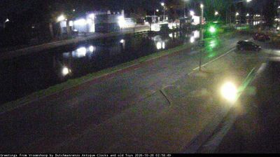


Deventer blends a compact medieval centre with an active IJssel riverfront in a way that reflects its historic position in Overijssel. A Hanseatic trading city in the Middle Ages, it developed around the broad Brink market square, where De Waag, a former municipal weighing house from the 16th century, recalls its commercial past. The Gothic Lebuinus Church rises near the river, while the Bergkwartier retains the close-knit streets of the historic core. Bookshops, markets and walks beside the IJssel keep the centre part of everyday city life. Continue with other webcams from the area to see how this part of Overijssel connects regionally along the IJssel.
1 webcam
Overijssel has served as an eastern frontier region within the Netherlands since the Middle Ages. Its name, meaning “across the IJssel,” reflects the river that marks much of its western side, while the province extends east toward the German border. The Hanseatic cities of Zwolle, Deventer and Kampen developed through trade on the IJssel and still preserve historic centres shaped by that mercantile past. To the northwest, the peatlands, reed beds and waterways of Weerribben-Wieden National Park contrast with the wooded Salland and Twente interior. Cycling routes, waterways and compact cities make Overijssel an engaging introduction to the Netherlands beyond the Randstad. Browse additional webcams from the surrounding area to extend your view of Overijssel.
3 webcams
Among the countries of northwestern Europe, the Netherlands stands out for its carefully managed lowlands in the Rhine–Meuse–Scheldt delta. Much of the country lies low in relation to the sea, and dikes, dunes, pumps and polders are integral to its everyday geography. The North Sea coast ranges from broad beaches to the Wadden Sea, a tidal area shared with Germany and Denmark. Amsterdam’s 17th-century canal ring recalls an era when Dutch trade connected the republic with ports around the world. Beyond the capital, bicycles, dairy farming, bulb fields and compact historic cities give the country a distinct rhythm. Rotterdam’s port and the Delta Works show how maritime commerce and water engineering remain central. View additional webcams nearby to better understand how the Rhine–Meuse–Scheldt delta relates to its North Sea surroundings.
126 webcams