 Stachy: Ski area Zadov - Lanová dráha Zadov - Kobyla
Zadov–Kobyla sits in the Šumava Mountains of Czechia, where open ski runs break through broad conifer forest above the settlement of Zadov. The Kobyla chairlift forms part of Ski area Zadov, a mountain sports centre used for downhill skiing, while the broader Zadov area is also associated with Šumava’s network of cross-country routes. This range, also known as the Bohemian Forest, is marked by high plateaux, peat bogs and spruce stands across the border highlands. Forest roads and marked paths make the locality relevant to walkers and cyclists as well. Rather than an urban resort, Zadov is a scattered mountain settlement whose services are organised around its slopes, trails and outdoor recreation.
Generated by AI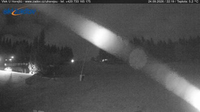
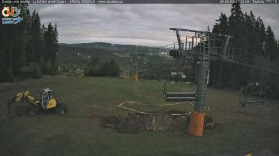

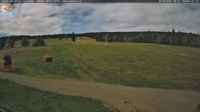




Few settlements in South Bohemia have a history as closely tied to the forestry of the Šumava Mountains as Stachy. First recorded in 1578, the municipality developed among the forests and clearings of this border range between Czechia, Germany and Austria. The 19th-century Church of the Visitation of the Virgin Mary is a local landmark. Stachy also includes Zadov, an established centre for cross-country skiing and alpine runs, while the nearby Šumava National Park protects extensive woodland and peat bogs. Browse additional webcams from the Šumava area to extend your view of South Bohemia.
4 webcams
South Bohemian Region occupies a broad southern stretch of Bohemia in Czechia, reaching from the Šumava Mountains near Austria to the lowlands around České Budějovice. The Vltava flows north through this region, while the Třeboň area is renowned for its centuries-old network of fishponds and carp farming. Český Krumlov, set in a bend of the Vltava, is a UNESCO World Heritage Site known for its historic centre and castle complex. The regional capital, České Budějovice, is also home to the Budweiser Budvar brewery. Browse additional webcams from the surrounding area to extend your view of South Bohemia.
93 webcams
The terrain of Czechia ranges from fertile lowlands in southern Moravia to mountain ridges along the northern frontier, giving this Central European country a distinctly varied geography. The Vltava runs through Prague before joining the Elbe, while the Krkonoše form part of the border with Poland and include Sněžka, Czechia’s highest mountain. Prague’s historic centre, with Prague Castle and Charles Bridge, reflects the city’s long role as a political and cultural centre. Beyond the capital, Bohemia is known for spa towns and brewing, and Moravia for wine-growing traditions. View additional webcams nearby to better understand how Czechia relates to its Central European surroundings.
1.2K webcams