 Gasselternijveenschemond: Weerstation
Gasselternijveenschemond is best known in Drenthe for its canal-side ribbon settlement, shaped by the peat reclamation that transformed the Veenkoloniën. Its name refers to the mouth of the Gasselternijveen canal, whose construction opened formerly boggy land to drainage, cultivation and transport. Houses and farms follow the straight waterways and roads typical of eastern Drenthe’s peat colonies instead of gathering around a traditional village square. The locality is part of the municipality of Aa en Hunze, in a rural area between the Hondsrug ridge and the Groningen peat districts. Fields, tree lines and the orderly pattern left by canal building define its character.
Generated by AI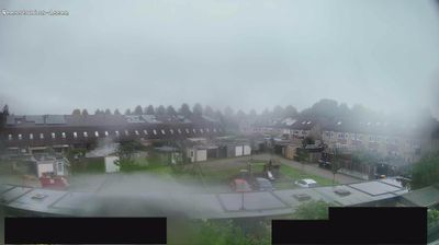
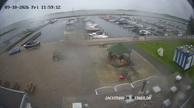

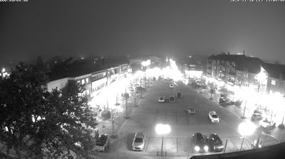



Gasselternijveenschemond occupies a long canal-side strip of former peatland in eastern Drenthe. The settlement follows the Gasselternijveenschemond Canal, part of a landscape shaped by drainage works and the peat trade that once connected remote bogs with wider Dutch markets. Its extended ribbon form, with homes and farms set along the water and road, remains a clear mark of Drenthe’s peat-colony history. Today the surrounding countryside is largely agricultural, with open fields, drainage ditches and wide horizons defining the local character. Discover other points of interest through webcams located across Drenthe.
1 webcam
Among the regions of the Netherlands, Drenthe stands out for its heathlands, sandy soils and exceptional concentration of prehistoric hunebedden. Set in the country’s northeast, the province is crossed by the Drentsche Aa, a stream landscape of meanders, wet grasslands and woodland that has remained unusually intact. Near Borger, the Hunebedcentrum interprets stone burial monuments built by the Funnelbeaker culture more than 5,000 years ago; many still stand in the open countryside. Assen, the provincial capital, provides an urban counterpoint and is internationally associated with motorcycle racing at TT Circuit Assen. Cycle routes and footpaths link forests, former peat areas and small settlements. See how Drenthe fits into the northern Netherlands by browsing webcams nearby.
6 webcams
Among the countries of northwestern Europe, the Netherlands stands out for its carefully managed lowlands in the Rhine–Meuse–Scheldt delta. Much of the country lies low in relation to the sea, and dikes, dunes, pumps and polders are integral to its everyday geography. The North Sea coast ranges from broad beaches to the Wadden Sea, a tidal area shared with Germany and Denmark. Amsterdam’s 17th-century canal ring recalls an era when Dutch trade connected the republic with ports around the world. Beyond the capital, bicycles, dairy farming, bulb fields and compact historic cities give the country a distinct rhythm. Rotterdam’s port and the Delta Works show how maritime commerce and water engineering remain central. View additional webcams nearby to better understand how the Rhine–Meuse–Scheldt delta relates to its North Sea surroundings.
131 webcams