 Gruyeres: Aérodrome Gruyères
Aérodrome de Gruyères lies in the Saane valley, where a broad floor of pastureland is enclosed by the wooded foothills of the Fribourg Prealps. Also known by its ICAO code LSGT, this small grass airfield forms part of the aviation landscape around Gruyères, a municipality whose farms underpin the production of Gruyère AOP cheese. The medieval town of Gruyères stands nearby on a hill, crowned by its castle and closely associated with one of Switzerland’s best-known regional foods. Working farmland, scattered rural buildings and pre-Alpine relief give this stretch of the Saane valley a distinctly rural character.
Generated by AI
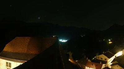
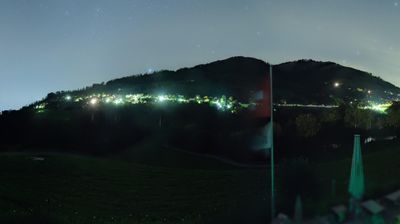

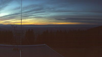

Gruyères occupies a hill above the Sarine valley in the Fribourg Prealps of western Switzerland. Its traffic-free main street leads to the 13th-century Gruyères Castle, the former seat of the counts of Gruyères; ramparts and gardens recall the settlement’s defensive past. The town gave its name to Gruyère AOP, the firm cow’s-milk cheese made in this part of Switzerland, and dairy farming remains central to the regional identity. Moléson rises above the valley, a prominent pre-Alpine summit overlooking the surrounding pastoral country. Explore additional webcams nearby to understand how Gruyères and the Fribourg Prealps relate to their wider alpine setting.
3 webcams
Built around the Sarine River and the medieval city of Fribourg, Fribourg developed into a bilingual Swiss canton where French and German meet. The Sarine cuts a deep bend beneath the old town, whose Gothic Cathedral of St Nicholas is a defining landmark. To the south, the Prealps rise toward the Gruyère district, known worldwide for Gruyère AOP cheese; northward, the canton reaches Lake Murten and Lake Neuchâtel. Medieval towns, dairy farming and university life give this part of western Switzerland a distinct rhythm. Discover further points of interest through webcams located across Fribourg.
31 webcams
Switzerland stretches from the Jura Mountains in the northwest to the Alps in the south, encompassing a central plateau of cities, farms and lakes. The Rhine rises in the Swiss Alps, while Lake Geneva forms part of the country’s southwestern border. Zürich, Geneva and Basel are major urban centres, yet mountain railways and passes remain central to how many regions are experienced. Four national languages—German, French, Italian and Romansh—reflect Switzerland’s distinct cantonal identities. The Matterhorn above Zermatt is among Europe’s most recognisable peaks, and the 1291 Federal Charter is closely associated with the country’s founding tradition. Continue through nearby webcams to explore different parts of Switzerland.
1.5K webcams