 Wodzislaw Slaski: Rynek
Tucked into the rolling southern Silesian uplands, Wodzisław Śląski is a place whose character is shaped by its position near Poland’s border with the Czech Republic. Its Rynek forms the traditional centre of a town granted municipal rights in 1257, with streets leading into a compact historic core. The square remains a civic meeting place, bordered by low-rise townhouses that reflect the scale of an old Silesian market town rather than a large industrial city. Wodzisław Śląski lies on the Leśnica River, in a part of Upper Silesia where Polish, Czech and German influences have long met. The wider area belongs to the Rybnik coalfield, while the central square retains an intimate urban rhythm.
Generated by AI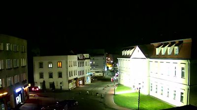
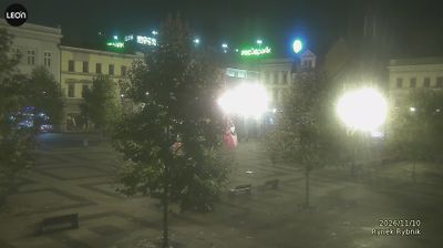
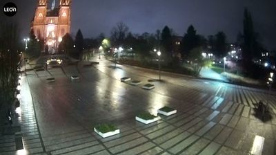
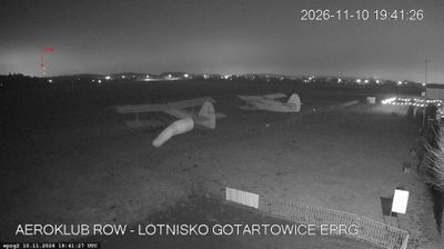

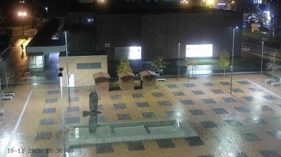

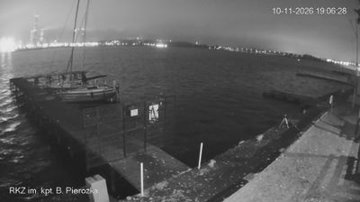


Tucked into the rolling Silesian Upland beside the Leśnica River, Wodzisław Śląski is a town whose character is shaped by its valley setting and its place in southern Poland’s industrial region. Granted town rights in 1257, it developed around a compact market square that remains the focus of its historic centre. The town lies close to the Czech border, where Polish and broader Silesian traditions meet in everyday life. Wodzisław Śląski makes a useful starting point for discovering the urban and rural contrasts of the Silesian Voivodeship. Browse additional webcams from the surrounding area to extend your view of Wodzisław Śląski and Silesia.
3 webcams
Among Poland’s voivodeships, the Silesian Voivodeship stands out for its densely populated industrial heartland framed by the Kraków-Częstochowa Upland and the Beskids. Katowice anchors a large urban area whose coal, steel and manufacturing traditions helped shape modern Poland. To the north, Częstochowa is home to the Jasna Góra monastery, a major pilgrimage destination associated with the revered icon of the Black Madonna. The Vistula, Poland’s longest river, rises in the Silesian Beskids near the southern border, where the region shifts into forested mountain country. Explore nearby webcam locations that provide complementary perspectives on the Silesian Voivodeship.
82 webcams
Poland stretches from the Baltic Sea coast in the north to the Carpathian Mountains along its southern frontier, encompassing broad lowlands, lake districts and upland ranges. The Vistula, the country’s longest river, links Kraków and Warsaw before reaching the Baltic near Gdańsk, while the Masurian Lake District is defined by a dense network of lakes. Kraków’s historic centre, including Wawel Castle, recalls Poland’s former royal capital; Warsaw’s rebuilt Old Town speaks to the city’s recovery after the Second World War. The Białowieża Forest preserves one of Europe’s last primeval lowland forests and is home to European bison. Follow how Poland’s regions relate to one another by browsing webcams across the country.
718 webcams