 Kampenhout
 combines the calm of open farmland with Brussels’s nearby urban pull in a way that reflects its position in Flemish Brabant. This low-lying municipality forms part of the agricultural belt between Brussels and Leuven, where fields are broken up by hedges, mature trees and dispersed houses rather than a dense townscape. Farming has long shaped local life, and Kampenhout is closely associated with witloof, the Belgian chicory cultivated in this part of the country. The local Witloof Museum preserves that tradition. The area gives a clear impression of central Belgium’s working countryside and of the rural-residential character that has developed around its larger cities.
Generated by AI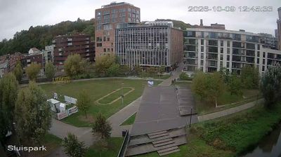
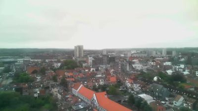






Tucked between Brussels and Leuven on the farming plain of Flemish Brabant, Kampenhout is a place whose character is shaped by fields, market gardens and a network of small settlements. The Leuven-Dijle Canal passes through Kampenhout-Sas, linking this rural municipality with Leuven and the River Dijle. Belgian endive, known in Dutch as witloof, is part of the local identity: the Witloofmuseum traces the crop’s cultivation and the growers who made it a fixture of Belgian cuisine. Quiet lanes and open farmland give Kampenhout a distinctly Brabant character, while Brussels remains close by. Browse additional webcams from the surrounding area to extend your view of Flemish Brabant.
1 webcam
Flanders occupies the low-lying northern half of Belgium. Its terrain runs from the North Sea coast and reclaimed polders to fertile river plains, with the Scheldt linking cities and ports before reaching the sea in the Netherlands. Dutch is the principal language, and the region's historic towns retain a strong civic identity: Bruges is known for its medieval centre, while Antwerp developed into one of Europe’s major port cities and a global diamond-trading centre. Flemish painting, lace-making and beer brewing remain central to the cultural story, alongside a contemporary design and food scene. Continue through nearby webcams to explore different parts of Flanders.
49 webcams
Belgium occupies a low-lying North Sea coastline and river plain in northwestern Europe. Dutch-speaking Flanders lies largely to the north, while French-speaking Wallonia reaches south towards the wooded Ardennes; Brussels is officially bilingual. The Scheldt and Meuse have long connected Belgian cities with the North Sea and continental Europe. Brussels’ Grand-Place, framed by ornate guildhalls and the Town Hall, is a UNESCO World Heritage site. Medieval Bruges retains canals and merchant architecture, while Antwerp remains a major port on the Scheldt. Belgian beer culture is recognised by UNESCO as intangible cultural heritage. See how Belgium connects with the North Sea coast and neighbouring regions by browsing webcams nearby.
99 webcams