 Nesslau: Stein: Toggenburg Alpakas
Nesslau has served as a rural settlement in the Toggenburg region since the Middle Ages. Set in the upper valley of the Thur in the canton of St Gallen, it extends between the river corridor and rising pre-Alpine slopes. Farming remains integral to the local setting: meadows, livestock holdings and timber barns sit alongside the compact built-up area. Nesslau belongs to the Toggenburg, a region of settled valleys and mountain pastures below the Churfirsten range. It is also a local centre for communities in the upper Thur valley, with road and rail connections following the valley floor. Working farmsteads and traditional wooden buildings preserve the agricultural character of this part of eastern Switzerland.
Generated by AI
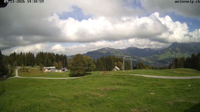
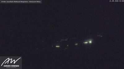
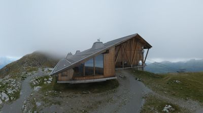
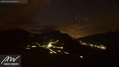

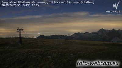
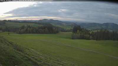

The Thur River defines the setting of Nesslau — it runs through this Toggenburg settlement as steep, wooded slopes rise close to its compact centre. In the canton of St Gallen, Nesslau occupies the upper Thur valley, a rural Alpine foothill corridor shaped by pasture farming and forest. The present municipality was created in 2013 through the merger of Nesslau-Krummenau and Stein, uniting scattered hamlets and mountain land under one administration. Nesslau is also served by the railway running through the valley, linking it with the wider Toggenburg. Browse other webcams across St Gallen and Toggenburg to place this setting in a wider geographic context.
3 webcams
Built around the former Abbey of St Gall and the territories once linked to it, Sankt Gallen developed into a varied eastern Swiss canton. In southern Toggenburg, the upper Thur Valley is framed by pastureland and the rugged Alpstein and Churfirsten ranges, giving this part of the canton a distinctly alpine character. Farther north, the landscape opens towards the Lake Constance basin and the city of St. Gallen. Its Abbey District, including the celebrated library, is a UNESCO World Heritage site and recalls the region’s importance as a medieval centre of learning. Continue with other webcams from the area to see how this part of eastern Switzerland connects regionally.
59 webcams
Switzerland stretches from the Jura Mountains in the northwest to the Alps in the south, encompassing a central plateau of cities, farms and lakes. The Rhine rises in the Swiss Alps, while Lake Geneva forms part of the country’s southwestern border. Zürich, Geneva and Basel are major urban centres, yet mountain railways and passes remain central to how many regions are experienced. Four national languages—German, French, Italian and Romansh—reflect Switzerland’s distinct cantonal identities. The Matterhorn above Zermatt is among Europe’s most recognisable peaks, and the 1291 Federal Charter is closely associated with the country’s founding tradition. Continue through nearby webcams to explore different parts of Switzerland.
1.1K webcams