 Neckertal: Hemberg: Skilift
Hemberg combines open pastureland with wooded slopes in a way that reflects its position in the Toggenburg foothills of north-eastern Switzerland. The municipality lies in the canton of St Gallen, on uplands above the Necker valley, where farms and scattered houses follow the contours of the terrain. This is a working rural setting rather than an urban resort: broad meadows are crossed by field tracks and bordered by mixed woodland. The surrounding Toggenburg forms part of the Swiss Prealps, while the River Necker runs through the valley below before joining the Thur. Hemberg’s local ski area and ski house add a recreational element to a landscape shaped chiefly by farming and forest.
Generated by AI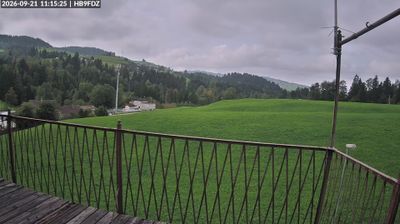
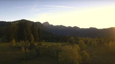
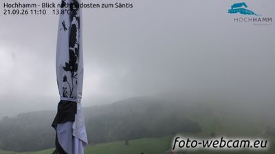
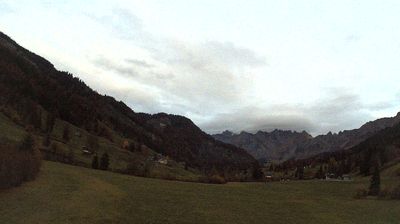
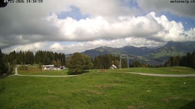




Few communities in St. Gallen have a history as closely tied to settlement in the Necker valley as Neckertal. This Toggenburg municipality follows the Necker through rolling farmland, woodland and the lower Swiss Prealps. Formed in 2009 through the union of Brunnadern, Mogelsberg and St. Peterzell, it brought several long-established village centres into one rural municipality. Near Mogelsberg, the Baumwipfelpfad Neckertal treetop walk passes through the forest canopy, while local paths link meadows and hamlets along the valley. Neckertal introduces a quieter, rural side of eastern Switzerland. Explore nearby webcam locations that provide complementary perspectives on Neckertal and the Toggenburg region.
1 webcam
Built around the former Abbey of St Gall and the territories once linked to it, Sankt Gallen developed into a varied eastern Swiss canton. In southern Toggenburg, the upper Thur Valley is framed by pastureland and the rugged Alpstein and Churfirsten ranges, giving this part of the canton a distinctly alpine character. Farther north, the landscape opens towards the Lake Constance basin and the city of St. Gallen. Its Abbey District, including the celebrated library, is a UNESCO World Heritage site and recalls the region’s importance as a medieval centre of learning. Continue with other webcams from the area to see how this part of eastern Switzerland connects regionally.
78 webcams
Switzerland stretches from the Jura Mountains in the northwest to the Alps in the south, encompassing a central plateau of cities, farms and lakes. The Rhine rises in the Swiss Alps, while Lake Geneva forms part of the country’s southwestern border. Zürich, Geneva and Basel are major urban centres, yet mountain railways and passes remain central to how many regions are experienced. Four national languages—German, French, Italian and Romansh—reflect Switzerland’s distinct cantonal identities. The Matterhorn above Zermatt is among Europe’s most recognisable peaks, and the 1291 Federal Charter is closely associated with the country’s founding tradition. Continue through nearby webcams to explore different parts of Switzerland.
1.5K webcams