Untersiggenthal
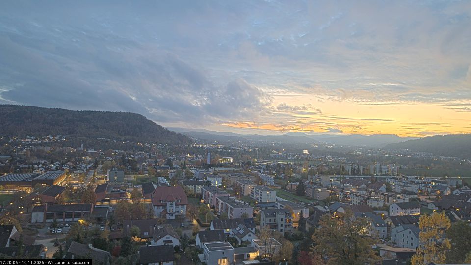
Untersiggenthal lies along the Limmat River, where the wooded lower slopes of the Jura meet the settled river corridor north of Baden. The municipality spreads between the Limmat and the Siggenberg ridge, combining residential districts with farmland and woodland typical of eastern Aargau. The Limmat soon joins the Aare near nearby Gebenstorf, placing the community within one of northern Switzerland’s important river landscapes. Freudenau Castle ruins on the riverbank recall the strategic value of this medieval route. Discover other points of interest through webcams located across Untersiggenthal and Aargau. Generated by AI
1 webcam

Featured webcams
Popular webcams
Recently added webcams
Explore other webcams in Untersiggenthal