Union Gap
The landscape around Union Gap is a broad, dry Yakima River valley framed by low ridges, which has shaped both the urban form and local economy. The city takes its name from the natural passage where the river crosses the surrounding hills, a defining feature of this part of central Washington. Orchards, vineyards and other irrigated farmland of the Yakima Valley remain central to the wider area’s identity, while Union Gap also serves as a retail centre south of Yakima. The Central Washington Agricultural Museum preserves farm machinery and historic structures that recall the region’s agricultural development. Discover other points of interest through webcams located across Washington’s Yakima Valley. Generated by AI
2 webcams


Featured webcams
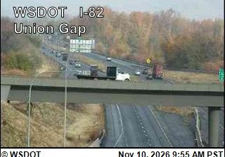
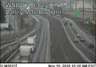
Recently added webcams
Explore other webcams in Union Gap