Twenty Mile Stand
Twenty Mile Stand straddles the crossroads of U.S. Route 22/3 and Socialville-Fosters Road in southwestern Ohio, a location shaped by its former role on the stagecoach road north from Cincinnati. The community takes its unusual name from an old “stand,” or stopping place, that marked roughly 20 miles from the city. It remains an unincorporated part of Deerfield Township in Warren County, within Cincinnati’s developed northern outskirts. The Little Miami River valley lies east of the crossroads, adding a notable river corridor to this inland setting. Explore nearby webcam locations that provide complementary perspectives on Warren County and the Little Miami River valley. Generated by AI
8 webcams
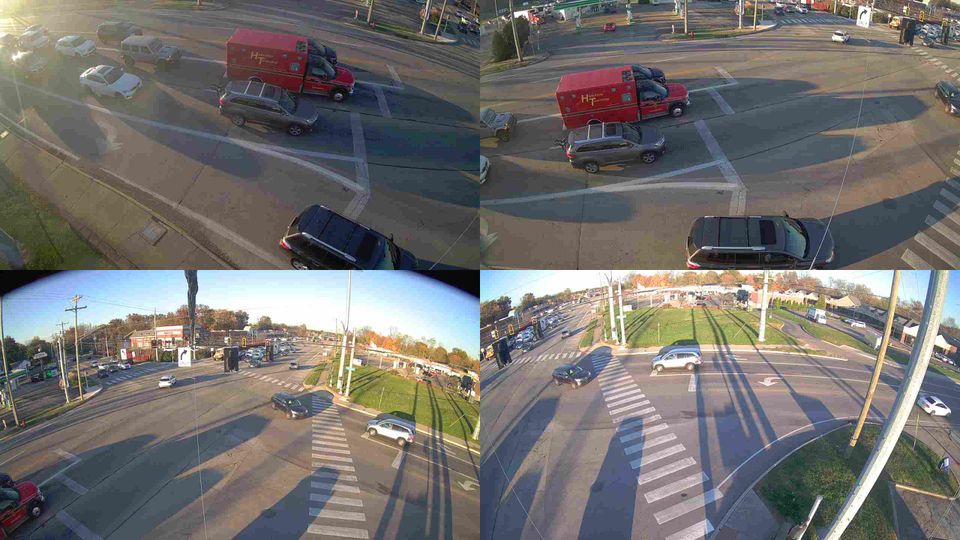
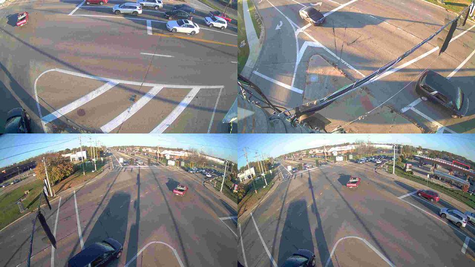
Featured webcams
Popular webcams
Recently added webcams
Explore other webcams in Twenty Mile Stand
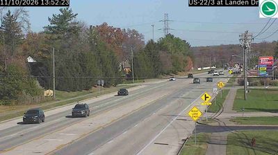

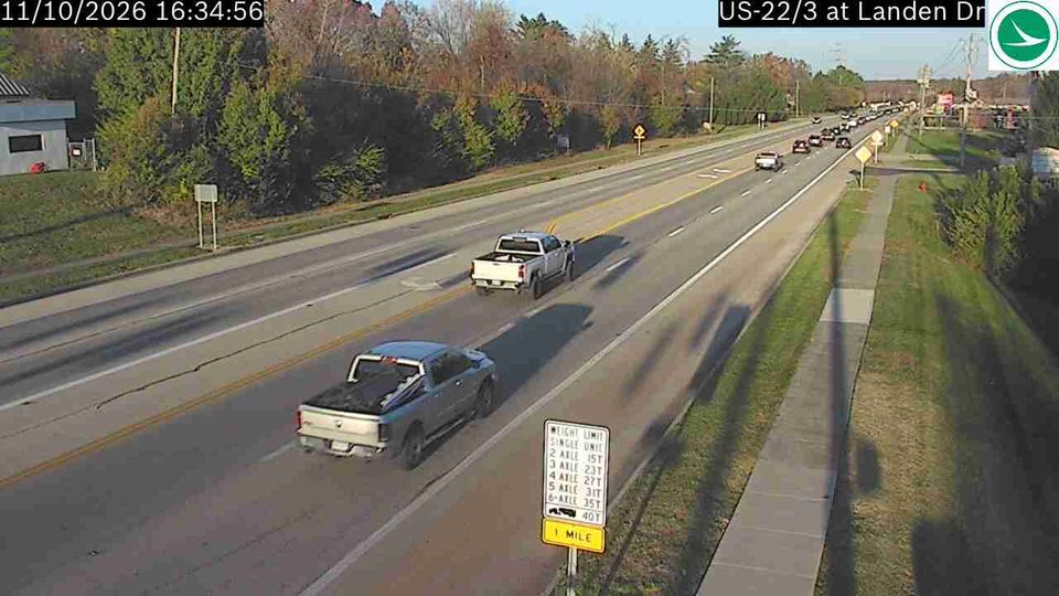
Twenty Mile Stand: US-22/3 at Landen Dr, 4370
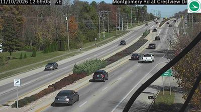
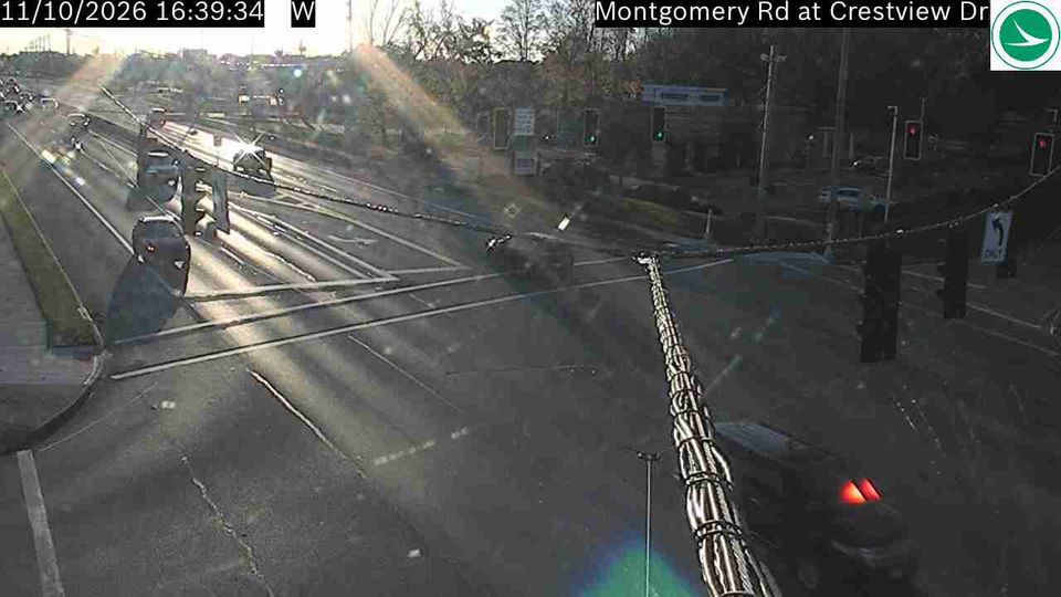
Twenty Mile Stand: Montgomery Rd at Crestview Dr, 4310
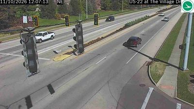
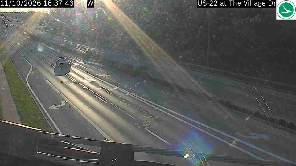
Twenty Mile Stand: Montgomery Rd at The Village Dr, 4314
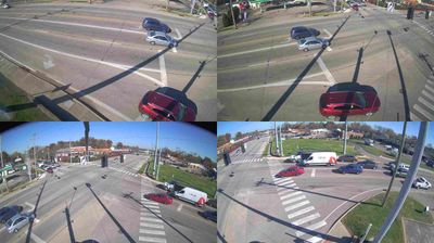
Twenty Mile Stand: US-22 at Columbia Rd, 4366
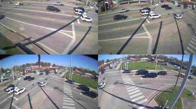
Twenty Mile Stand: US-22 at Columbia Rd
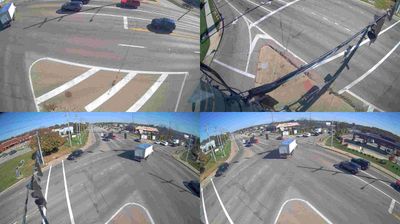
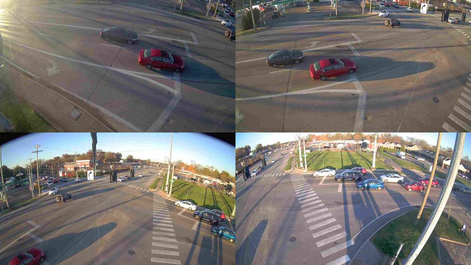
Twenty Mile Stand: Fields Ertel Rd & Montgomery Rd, 4303
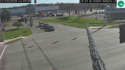
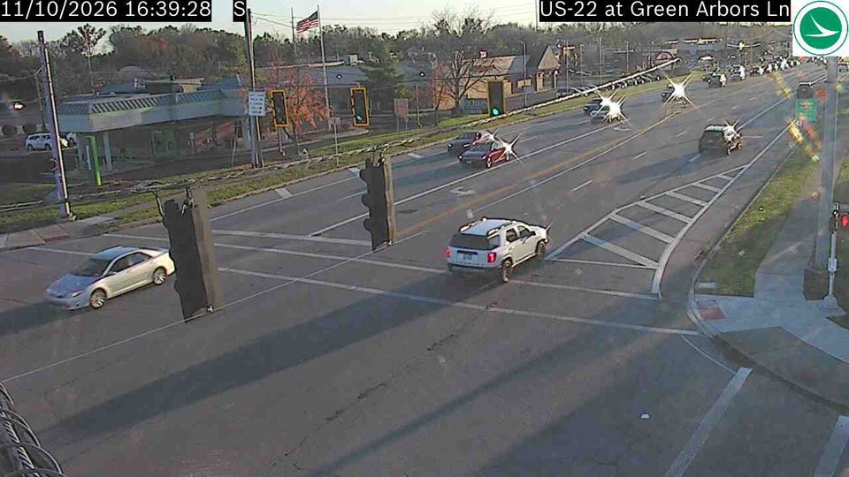
Twenty Mile Stand: US-22 at Green Arbors Ln, 4367
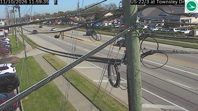
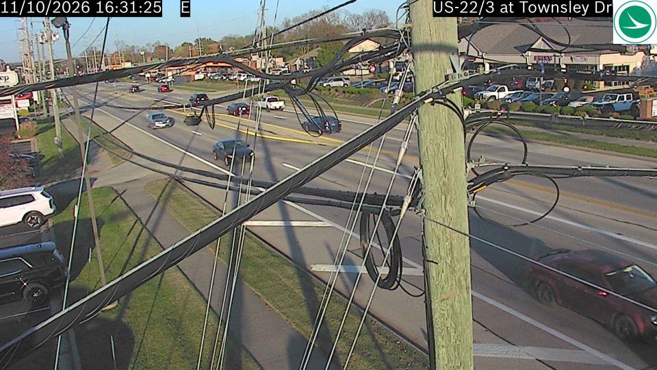
Twenty Mile Stand: US-22/3 at Townsley Dr, 4371