Tanohata
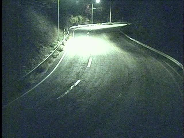
Tanohara lies along Iwate Prefecture’s Pacific coastal belt, where the wave-cut cliffs of Kitayamazaki rise above the open waters of the Sanriku Coast. This northern section of Sanriku Fukko National Park is defined by rocky headlands and small inlets rather than broad urban waterfronts. Kitayamazaki is known for its succession of sheer cliff faces, some reaching about 200 metres above the sea. Inland, forested slopes and scattered rural settlements give the area a markedly different rhythm from Japan’s major cities. The Sanriku Railway’s Rias Line has served as a continuous coastal route since 2019, following reconstruction after the 2011 earthquake and tsunami. Browse other webcams across Iwate Prefecture and the Sanriku Coast to place Tanohara in a wider geographic context. Generated by AI

Featured webcams
Popular webcams
Recently added webcams
Explore other webcams in Tanohata