Swalls
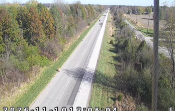
Western Indiana’s agricultural plain defines the setting of Swalls — cultivated land and dispersed homes, rather than an urban core, shape its rural character. The locality lies in the wider Wabash Valley area, where the Wabash River has long formed the region’s principal natural corridor. Farming remains central to Indiana’s identity, with corn and soybeans among the state’s leading crops, and the surrounding countryside reflects its place in the US Corn Belt. Swalls is best understood as part of a network of small settlements and working land between larger Indiana towns. See how Swalls fits into western Indiana by browsing webcams in nearby communities. Generated by AI
1 webcam


Featured webcams
Popular webcams
Recently added webcams
Explore other webcams in Swalls