State Line
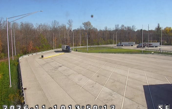
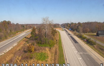
State Line occupies a low-lying stretch of the Wabash River valley on Indiana’s western border with Illinois. This rural locality is shaped by the river’s broad floodplain, agricultural fields and wooded banks rather than by urban development. Here, the Wabash forms part of the state boundary, a role that has long influenced travel and settlement across this section of the Midwest. The surrounding terrain belongs to the wider Wabash Valley, where small communities remain closely connected to farming and changing river conditions. Find related webcams in western Indiana and across the Illinois border to build a fuller picture of the Wabash Valley. Generated by AI
2 webcams


Featured webcams
Popular webcams
Recently added webcams
Explore other webcams in State Line