Spiceland
Eastern Indiana’s gently rolling farmland defines the setting of Spiceland — fields, farmsteads and small-town streets shape daily life in this part of Henry County. The town lies on U.S. Route 40, the modern alignment of the historic National Road, one of the United States’ earliest federally funded highways. That route gives its compact center a direct connection to communities east and west across Indiana. Spiceland developed during the nineteenth century and retains the scale of a rural settlement rather than a regional hub. Its position also places it within the wider agricultural belt between Indianapolis and the Ohio state line. See how Spiceland fits into eastern Indiana by browsing webcams in nearby communities. Generated by AI
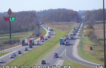
1 webcam


Featured webcams
Popular webcams
Recently added webcams
Explore other webcams in Spiceland