Slatecut
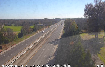
The Ohio River defines the broader setting of Slatecut — this small Clark County locality lies in southern Indiana’s rolling uplands, north of the river and the Louisville area. Clark County, established in 1801, belongs to Indiana’s earliest-settled territory. To the northeast, Charlestown State Park reaches the Ohio River and preserves the remains of Rose Island, a former early-20th-century amusement park. Browse webcams around southern Indiana and the Ohio River to understand Slatecut’s regional setting. Generated by AI
1 webcam


Featured webcams
Popular webcams
Recently added webcams
Explore other webcams in Slatecut