Schalkenmehren
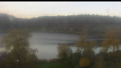
The landscape around Schalkenmehren is defined by the volcanic maars of the Vulkaneifel, which have shaped both the settlement pattern and local economy. Schalkenmehrener Maar lies beside the village and belongs to the Daun Maars, a close group of volcanic craters that also includes the Gemündener and Weinfelder maars. Woodland, open fields and lakeside paths give this part of Rhineland-Palatinate a distinctly rural character. Schalkenmehren is within the UNESCO Global Geopark Vulkaneifel, where trails and interpretation bring the region’s volcanic past into focus. View additional webcams nearby to better understand how Schalkenmehren relates to the wider Vulkaneifel. Generated by AI
1 webcam


Featured webcams
Popular webcams
Recently added webcams
Explore other webcams in Schalkenmehren