Saraycik Mahallesi
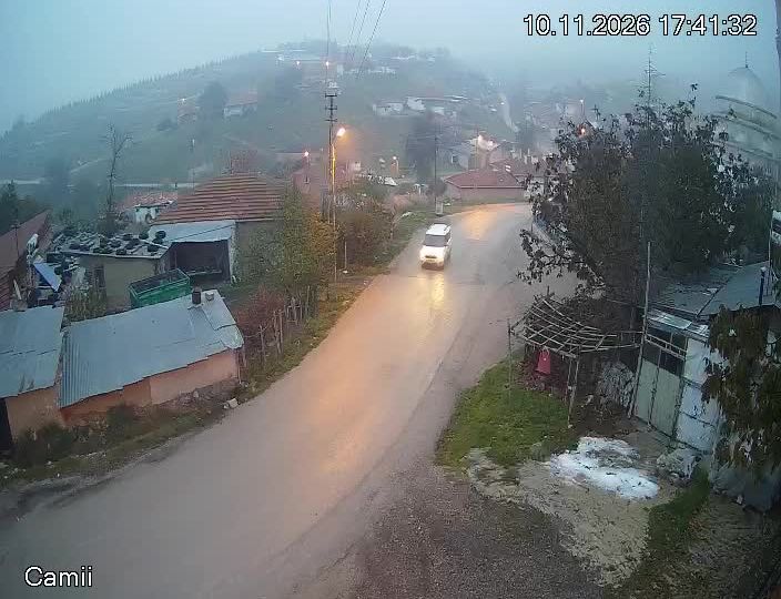
Saraycık Mahallesi lies on the Anatolian Plateau west of central Ankara, amid open uplands shaped by dry summers and cold winters. It forms part of the capital’s outer urban area, where expanding residential districts and major road corridors meet the broad agricultural terrain of central Anatolia. Ankara has been the capital of the Republic of Turkey since 1923, and national landmarks such as Anıtkabir give the wider area a significance that reaches far beyond the historic centre. Saraycık presents the everyday, fast-changing edge of one of Turkey’s largest cities. Continue with other webcams from Ankara to see how this part of central Anatolia connects regionally. Generated by AI

Featured webcams
Popular webcams
Recently added webcams
Explore other webcams in Saraycik Mahallesi