Rancho Cordova
The American River defines the setting of Rancho Cordova — the river and its protected parkway trace the city’s northern edge, bringing riparian paths and open ground into a largely urban Sacramento setting. Southeast of downtown Sacramento, the city grew from agricultural land and postwar subdivisions, and it incorporated in 2003. Folsom Boulevard remains an important east–west corridor, served by Sacramento Regional Transit light rail. Mather Airport, on the site of the former Mather Air Force Base, adds a distinct aviation chapter to the local map. View additional webcams nearby to better understand how Rancho Cordova relates to the American River corridor and greater Sacramento. Generated by AI
24 webcams
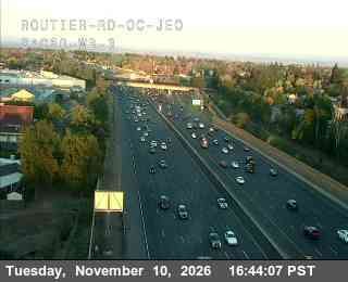
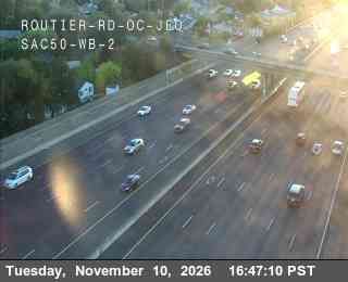
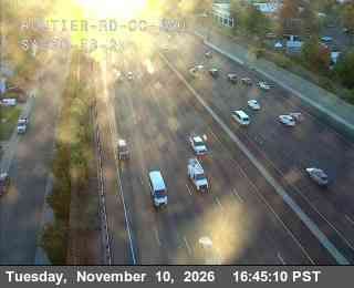
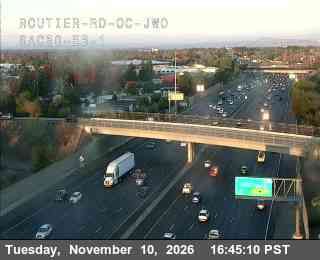
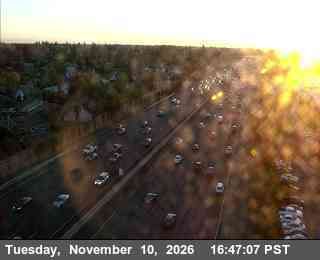
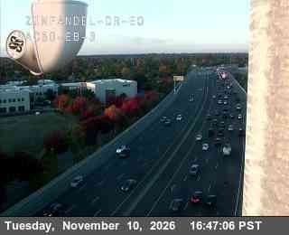
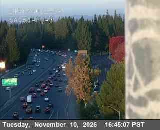
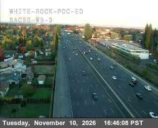
Featured webcams
Popular webcams
Recently added webcams
Explore other webcams in Rancho Cordova
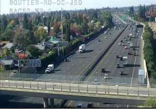

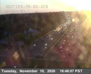
Rancho Cordova: Hwy 50 at Routier Rd JEO 1

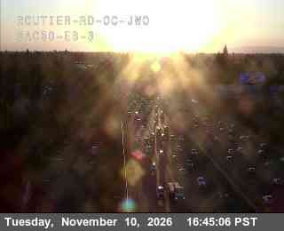
Rancho Cordova: Hwy 50 at Routier Rd JWO 3
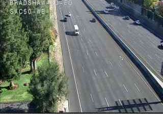
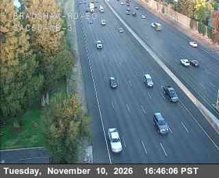
Rancho Cordova: Hwy 50 at Bradshaw Rd EO 3
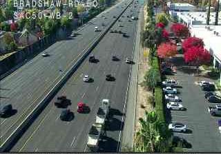
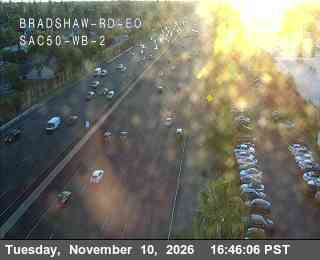
Rancho Cordova: Hwy 50 at Bradshaw Rd EO 2
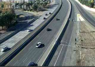
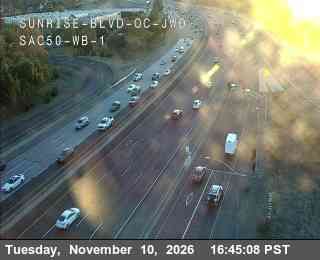
Rancho Cordova: Hwy 50 at Sunrise Blvd OC JWO WB 1
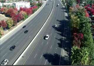
Rancho Cordova: Hwy 50 at Zinfandel Dr EO EB 2
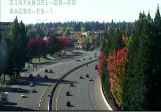
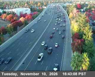
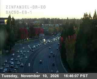
Rancho Cordova: Hwy 50 at Zinfandel Dr EO EB 1
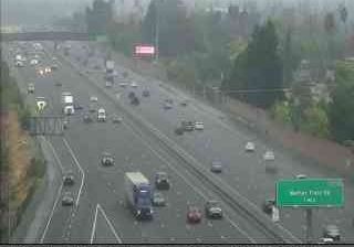
Rancho Cordova: Hwy 50 at Zinfandel Dr EB 2
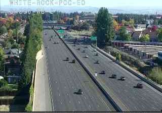
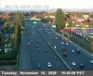
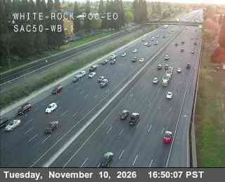
Rancho Cordova: Hwy 50 at White Rock POC EO 2
Rancho Cordova: Hwy 50 at White Rock POC EO 1

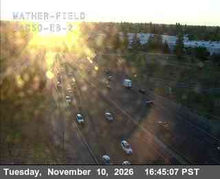
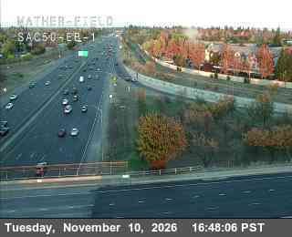
Rancho Cordova: Hwy 50 at Mather Field EB 2
Rancho Cordova: Hwy 50 at Mather Field EB 1

Rancho Cordova: Hwy 50 at Routier Rd JEO 3
Rancho Cordova: Hwy 50 at Routier Rd JEO 2
Rancho Cordova: Hwy 50 at Routier Rd JWO 2
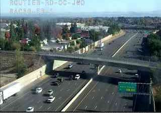
Rancho Cordova: Hwy 50 at Routier Rd JWO 1
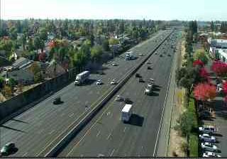
Rancho Cordova: Hwy 50 at Bradshaw Rd EO 1

Rancho Cordova: Hwy 50 at Zinfandel Dr EO EB 3
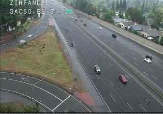
Rancho Cordova: Hwy 50 at Zinfandel Dr EB 3
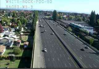
Rancho Cordova: Hwy 50 at White Rock POC EO 3
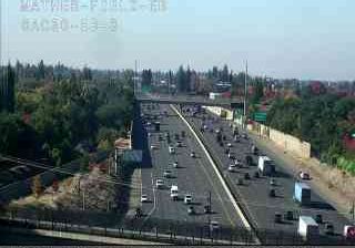
Rancho Cordova: Hwy 50 at Mather Field EB 3
Rancho Cordova: Hwy 50 at Sunrise Blvd OC JWO WB 3
Rancho Cordova: Hwy 50 at Zinfandel Dr EB 1

Rancho Cordova: Hwy 50 at Sunrise Blvd OC JWO WB 2