Castle Valley
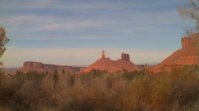
Among Utah’s settlements, Castle Valley is distinguished by its red-rock basin at the foot of the La Sal Mountains. Castle Creek runs through the community, while the arid valley floor is framed by sandstone cliffs, mesas and Castleton Tower, a roughly 400-foot Wingate Sandstone formation known internationally among technical climbers. The contrast between the high La Sals and the surrounding desert is central to the area’s character. Castle Valley is part of Grand County near Moab, in the varied canyon country of the Colorado Plateau, where roads lead through open terrain shaped by wind and water. Browse other webcams across Grand County and southeastern Utah to place Castle Valley in a wider geographic context. Generated by AI
2 webcams


Featured webcams

Popular webcams
Recently added webcams
Explore other webcams in Castle Valley