La Verkin
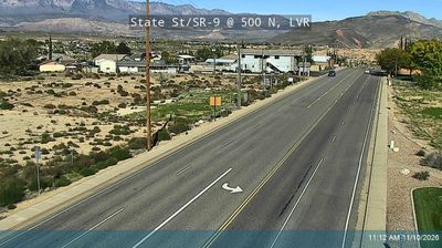
The landscape around La Verkin is an arid red-rock valley carved by the Virgin River, which has shaped both the town’s compact form and its irrigation-based agricultural beginnings. The river and La Verkin Creek meet nearby beneath steep canyon walls that expose the layered geology of southwestern Utah. Utah State Route 9 runs through town toward Zion National Park, linking La Verkin to one of the region’s principal scenic routes. The early-20th-century Hurricane Canal, built to bring water to farmland, recalls the engineering needed to settle this dry country. Browse other webcams in southern Utah to compare river valleys and red-rock settings around La Verkin. Generated by AI
2 webcams


Featured webcams

Popular webcams
Recently added webcams
Explore other webcams in La Verkin