Area B (South Fraser Canyon/Sunshine Valley)
Among the rural areas of British Columbia, Area B stands out for its position in the Cascade Mountains on the eastern side of the Fraser Valley. Rather than a single town, it is a broad, sparsely settled district of forested slopes and mountain road corridors extending from the Hope area toward the southern interior. The Hope–Princeton Highway, opened in 1949 and now part of BC Highway 3, is its defining route, running toward E. C. Manning Provincial Park and the Similkameen region. Continue with other webcams from the area to see how this part of southwestern British Columbia connects across the Fraser Valley and into the interior. Generated by AI
10 webcams





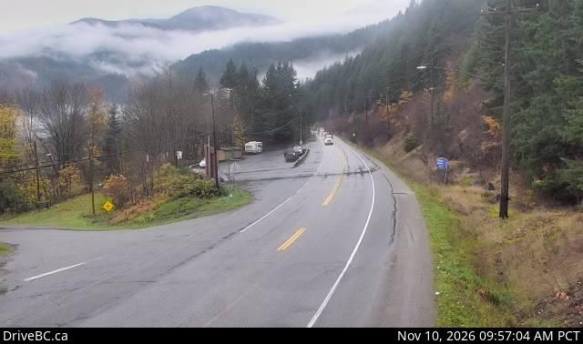
Featured webcams
Popular webcams
Recently added webcams
Explore other webcams in Area B (South Fraser Canyon/Sunshine Valley)
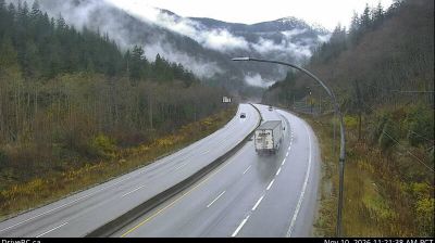

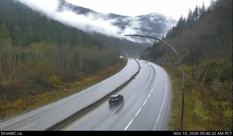
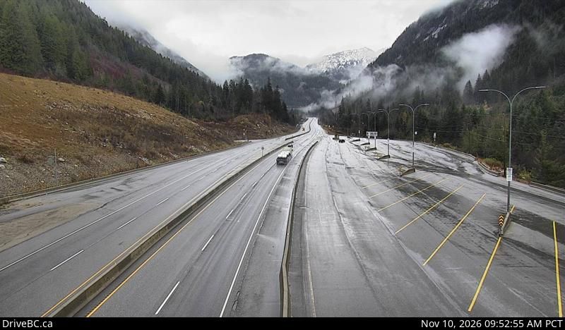
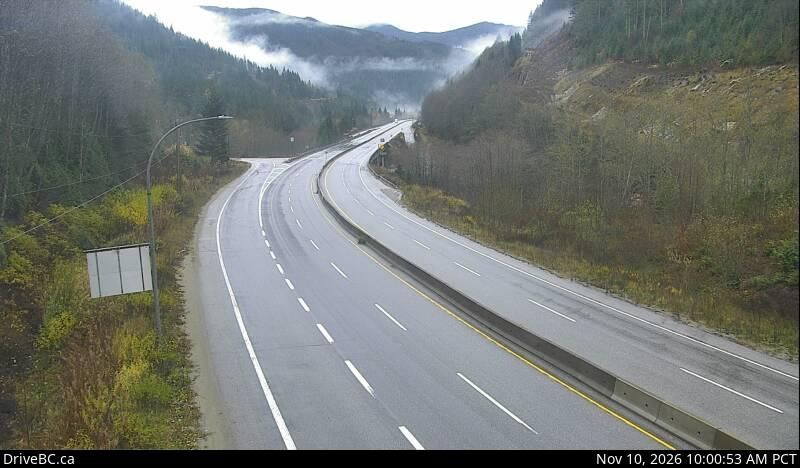
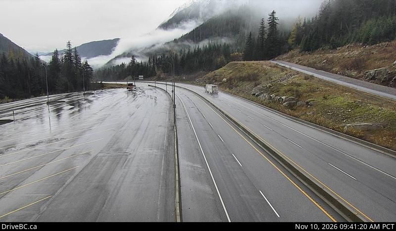
Area B (South Fraser Canyon/Sunshine Valley): Highway 5 at the northbound Portia Chain Up, looking north
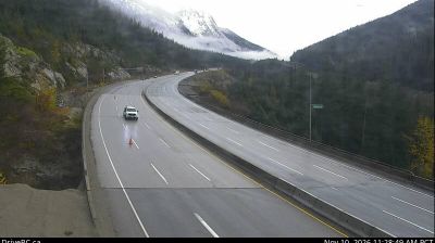
Area B (South Fraser Canyon/Sunshine Valley): Highway 5 at the Great Bear Snowshed, looking north

Area B (South Fraser Canyon/Sunshine Valley): Highway 5 at the Great Bear Snowshed, looking south
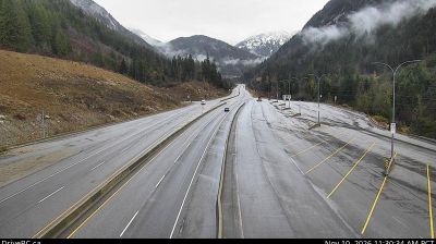
Area B (South Fraser Canyon/Sunshine Valley): Highway 5 near Box Canyon Chain Up, looking north
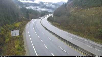
Area B (South Fraser Canyon/Sunshine Valley): Highway 5 at the northbound Portia Chain Up, looking south
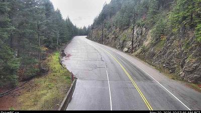
Area B (South Fraser Canyon/Sunshine Valley): Highway 1 at Alexandra Bridge, looking south
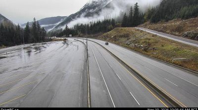
Area B (South Fraser Canyon/Sunshine Valley): Highway 5 near Box Canyon Chain Up, looking south
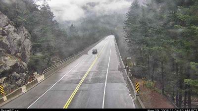
Area B (South Fraser Canyon/Sunshine Valley): Highway 1 at Alexandra Bridge, looking north
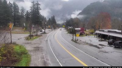
Area B (South Fraser Canyon/Sunshine Valley): Highway 1 at Victoria Street in Yale, looking northbound

Area B (South Fraser Canyon/Sunshine Valley): Highway 1 at Victoria Street in Yale, looking southbound