Payson
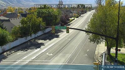
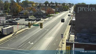
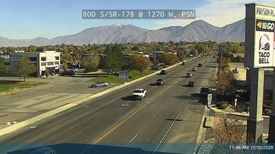
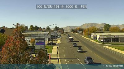
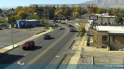
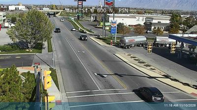
Built around Peteetneet Fort, established by Mormon settlers in the 1850s, Payson grew into a city at the southern end of Utah Valley. The community sits beneath the Wasatch Range, with Payson Canyon leading east toward the Uinta-Wasatch-Cache National Forest and Mount Nebo rising to the south. Its early name, Peteetneet, came from a Ute leader and survives at the Peteetneet Museum and Cultural Arts Center, housed in a historic school building. Each summer, Payson Onion Days recalls the crop long associated with the town. Discover how Payson connects with Utah Valley and the Wasatch Front by browsing webcams in the surrounding area. Generated by AI
9 webcams