Quetzaltenango
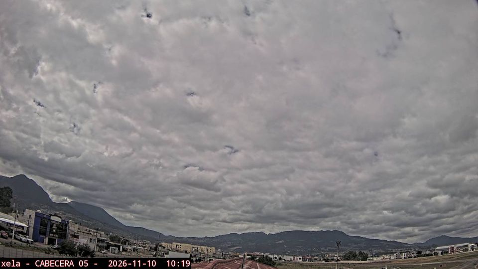
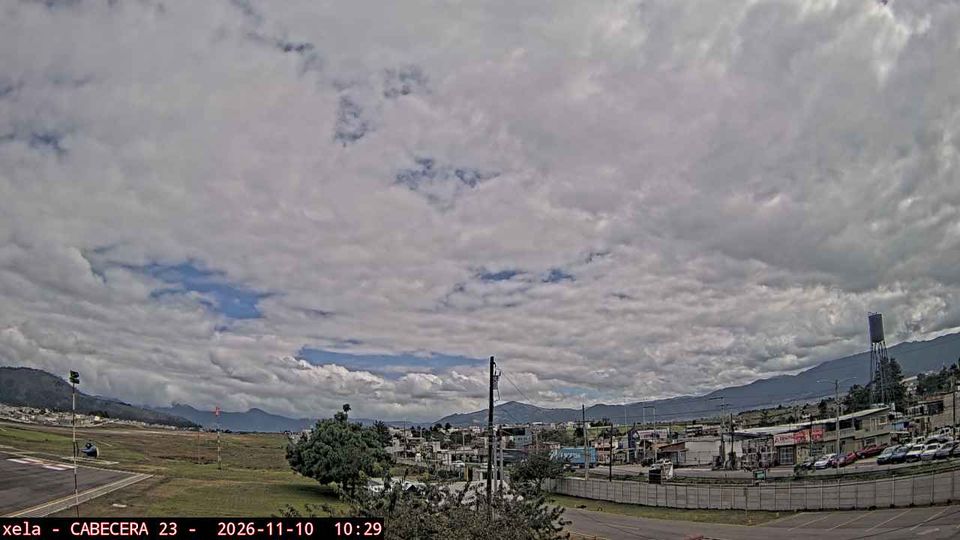
The landscape around Quetzaltenango is a cool, high-altitude basin enclosed by volcanic highlands, which has shaped both the city’s compact form and its role as a commercial centre for western Guatemala. Often called Xela, the city sits near Santa María Volcano, whose 1902 eruption was among the largest of the twentieth century. Around Parque Centro América, civic buildings and the Catedral del Espíritu Santo reflect Quetzaltenango’s importance as a regional centre. K’iche’ Maya culture remains a living part of the city’s identity, alongside Spanish-language schools and markets serving the surrounding highlands. Browse other webcams across Quetzaltenango and western Guatemala to place this highland setting in a wider geographic context. Generated by AI

Featured webcams
Popular webcams
Recently added webcams
Explore other webcams in Quetzaltenango