Kita Ward
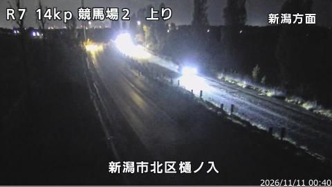
Kita Ward lies between the Sea of Japan and the Echigo Plain in northern Niigata Prefecture, a position that has shaped a lowland of rice fields, waterways and coastal communities. The Agano River forms much of its southern edge, while the Fukushimagata wetland preserves habitat for migratory birds and is listed under the Ramsar Convention. Kita Ward became one of Niigata City’s eight administrative wards when the city gained designated-city status in 2007. Its working farmland and shoreline give it a markedly different character from Niigata’s denser central districts. Discover other points of interest through webcams located across Niigata City and Niigata Prefecture. Generated by AI
1 webcam

Featured webcams

Popular webcams
Recently added webcams
Explore other webcams in Kita Ward