Hokah
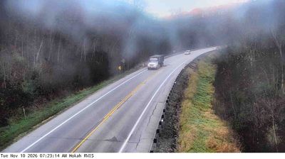
The terrain around Hokah is a narrow, wooded valley in southeastern Minnesota’s Driftless Area, which has shaped the town’s compact form and farming-based local economy. Crooked Creek runs through the community, while the Mississippi River corridor lies to the east near the Wisconsin border. Hokah is part of Houston County, where limestone bluffs, small farms and river-bottom land contrast with the broad plains often associated with Minnesota. Its Dakota-derived name, commonly translated as “heron,” reflects the area’s Indigenous linguistic heritage. View additional webcams nearby to better understand how Hokah’s creek valley relates to the Mississippi River landscape. Generated by AI
1 webcam


Featured webcams
Popular webcams
Recently added webcams
Explore other webcams in Hokah