Guidel
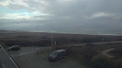
The landscape around Guidel is defined by the tidal Laïta estuary, Atlantic dunes and low coastal farmland, which have shaped both the commune’s settlement pattern and local economy. In southern Morbihan, Guidel extends from its inland centre to Guidel-Plages, where broad beaches meet the Bay of Biscay and the Laïta forms the boundary with Finistère. The shore supports watersports and a long-established holiday coast, while inland lanes retain a Breton character. Fort du Loch, a late-19th-century military work near the coast, recalls the strategic importance once given to this shoreline. Explore nearby webcam locations that provide complementary perspectives on the Laïta estuary and southern Brittany’s Atlantic coast. Generated by AI
2 webcams


Featured webcams

Popular webcams
Recently added webcams
Explore other webcams in Guidel