Dyer Brook
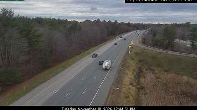
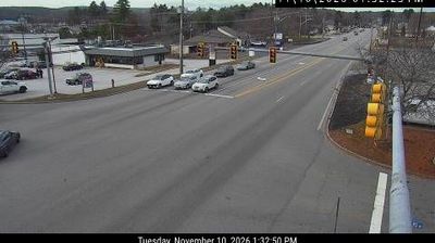
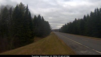
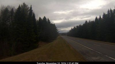
Dyer Brook has served as an agricultural community in Maine’s Aroostook County since its incorporation in 1880. The town takes its name from Dyer Brook, which flows through this sparsely settled part of northern Maine before joining the Mattawamkeag River in the Penobscot River watershed. Fields and working woodland reflect the land-use traditions of Aroostook, a region widely associated with potato farming. U.S. Route 2 passes through Dyer Brook, connecting its rural setting with other communities across the county. Explore nearby webcam locations that provide complementary perspectives on Dyer Brook and northern Maine. Generated by AI
4 webcams


Featured webcams
Popular webcams
Recently added webcams
Explore other webcams in Dyer Brook