Drimmelen
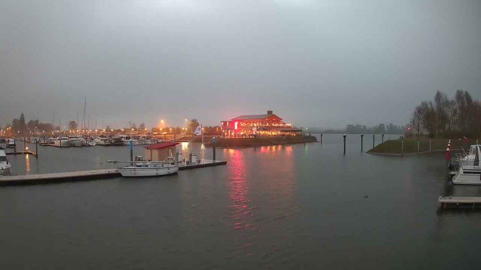
Few places in North Brabant have a history as closely tied to fishing and river navigation as Drimmelen. The village stands on the Amer, part of the Rhine–Meuse delta, beside De Biesbosch National Park, where waterways branch through reed beds and willow-lined islands. This wetland landscape took its present form after the St Elizabeth's Flood of 1421. Drimmelen’s harbour still reflects the enduring importance of water to local life, with moorings, a marina and cafés along the waterfront. Browse additional webcams from the surrounding area to extend your view of Drimmelen and De Biesbosch. Generated by AI

Featured webcams
Popular webcams
Recently added webcams
Explore other webcams in Drimmelen