Connewarre
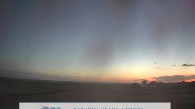
Lake Connewarre defines the setting of Connewarre — its broad, shallow wetlands and the lower Barwon River give this rural corner of Victoria a landscape shaped by water levels, reedbeds and open farmland. The lake forms part of the Port Phillip Bay (Western Shoreline) and Bellarine Peninsula Ramsar site, an internationally recognised wetland area that supports waterbirds and other wetland species. Connewarre lies between Geelong and the coast near Barwon Heads, beyond the urban centre, with local roads running past paddocks, marshes and estuarine waters. This is Wadawurrung Country, reflecting the enduring connection of the Wadawurrung people to the region. See how Connewarre relates to the Bellarine and Geelong area by browsing webcams nearby. Generated by AI
3 webcams


Featured webcams


Popular webcams
Recently added webcams
Explore other webcams in Connewarre