Chuen Lung Tit Lo Shing
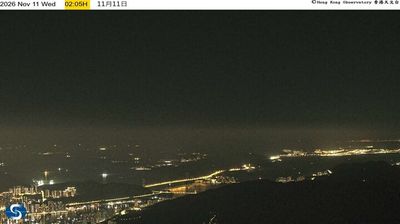
Chuen Lung Tit Lo Shing lies in a valley below Tai Mo Shan, where wooded New Territories slopes rise towards Hong Kong’s highest peak, at 957 metres. The settlement sits beside Route Twisk, a winding mountain road linking Tsuen Wan with the higher interior of the territory, and near Tai Mo Shan Country Park. Chuen Lung is closely associated with the long-established Chuen Lung Tea Garden, known locally for traditional tea-house dishes and dim sum. Its setting provides a marked rural counterpoint to Hong Kong’s dense urban districts. Continue through nearby webcams to explore different parts of Hong Kong’s New Territories. Generated by AI
1 webcam


Featured webcams
Popular webcams
Recently added webcams
Explore other webcams in Chuen Lung Tit Lo Shing