Chesterfield
Chesterfield lies along the Eastern Branch of the Elizabeth River, where Chesapeake’s flat tidal terrain meets the broader Hampton Roads urban area. This local district sits within Chesapeake, an independent city created in 1963 through the consolidation of the former City of South Norfolk and Norfolk County. The Elizabeth River is part of the network of waterways leading into Hampton Roads, one of the United States’ major natural harbors. South of the built-up riverbanks, Chesapeake extends toward the forests and wetlands of Great Dismal Swamp National Wildlife Refuge. Find related webcams in Chesapeake and Hampton Roads to build a fuller picture of southeastern Virginia. Generated by AI
1 webcam


Featured webcams
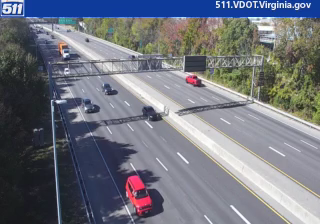
Popular webcams
Recently added webcams
Explore other webcams in Chesterfield