Cayce
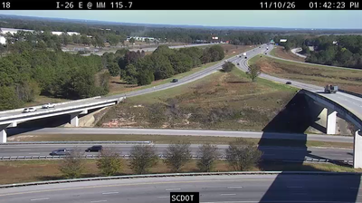
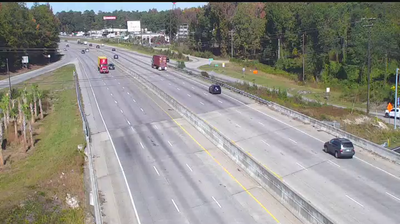
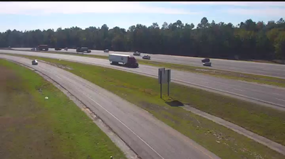
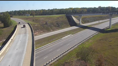
The landscape around Cayce is a low, wooded river plain beside the Congaree River, which has shaped both its urban form and local economy. Set on the river’s south bank, the city lies close to downtown Columbia while retaining a distinct Lexington County identity. The Cayce Riverwalk and Timmerman Trail trace the Congaree through riverside parkland and near places connected with Granby, a colonial-era settlement. Cayce’s 12,000 Year History Park interprets the area’s long record of human occupation, including Indigenous history and the Revolutionary War period. Residential districts, major transport corridors and access to South Carolina’s capital give Cayce a practical metropolitan character, but the river remains its defining geographic feature. View additional webcams nearby to better understand how Cayce and the Congaree River relate to the Columbia-area landscape. Generated by AI
5 webcams


Featured webcams

Popular webcams
Recently added webcams