Catherine
Few communities in Louisiana have a history as closely tied to the Mississippi River and its floodplain as Catherine. Set on the low, alluvial plain west of the river, this small West Baton Rouge Parish locality belongs to a landscape shaped by levees, drainage and agriculture. Sugarcane has long been central to the parish economy, while the river corridor has connected this area with Baton Rouge and southern Louisiana's port network. West Baton Rouge Parish was created in 1807, and its settlement pattern still reflects the practical demands of farming in a flood-prone environment. Catherine is a useful reference point for exploring the quieter rural side of the capital region. Explore nearby webcam locations that provide complementary perspectives on Catherine and the Mississippi River corridor. Generated by AI
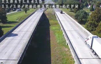
1 webcam


Featured webcams
Popular webcams
Recently added webcams
Explore other webcams in Catherine