Phuong Trung My Tay
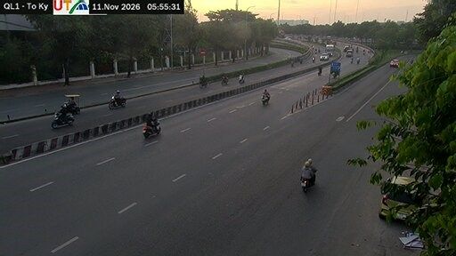
The Vàm Thuật River shapes the southern edge of Phuong Trung My Tay — low-lying ground and waterways remain part of the setting beneath this densely built northwestern quarter of Ho Chi Minh City. In District 12, the ward forms part of the metropolitan expansion beyond the historic central districts, with homes, small businesses and major roads occupying what was once more peripheral land. Its everyday rhythm reflects that of Vietnam’s largest city by population, still widely known as Saigon in daily speech. The Vàm Thuật is connected to the Saigon River, linking this inland neighbourhood to southern Vietnam’s broader water network. Move on to other webcams in the region to compare landscapes and settings around Ho Chi Minh City. Generated by AI

Recently added webcams