Vermont
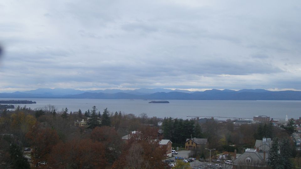
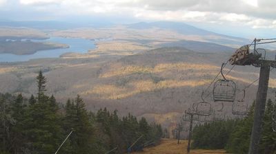
Vermont is best known in the United States for the Green Mountains, the north–south range that gives the state its defining wooded backbone. These coordinates lie in north-central Vermont, where rolling uplands and narrow valleys lead toward the Lamoille River. Mount Mansfield, rising to 4,393 feet (1,339 metres), is the state’s highest peak and stands farther west in the same mountain region. Lake Champlain forms much of Vermont’s western edge, while the Connecticut River traces its border with New Hampshire. Maple sugaring is a defining seasonal tradition, and Vermont is the nation’s leading maple-syrup producer. Explore nearby places to better understand how north-central Vermont relates to the Green Mountains, river valleys and Lake Champlain. Generated by AI



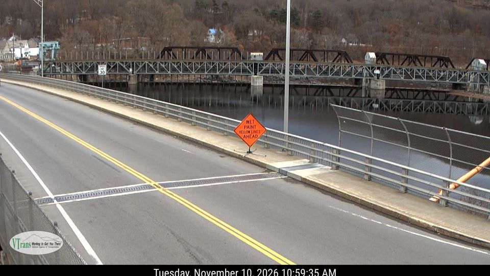
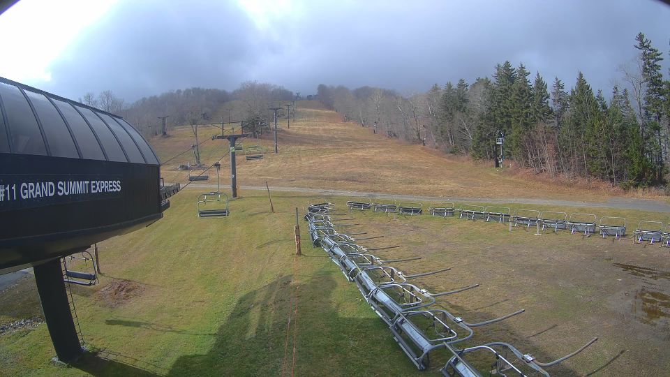


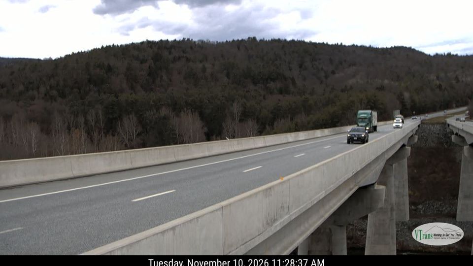
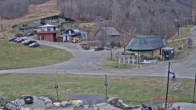

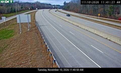
Featured webcams


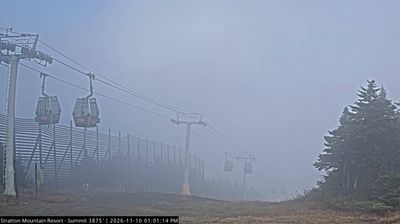
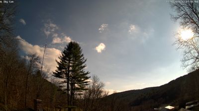
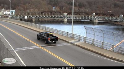
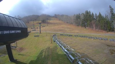

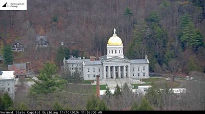
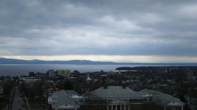

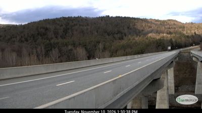

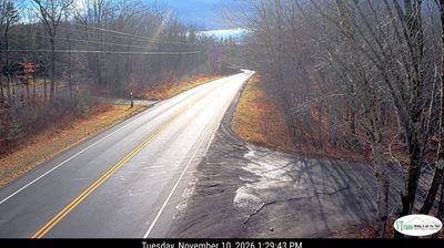
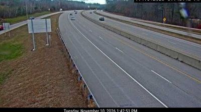
Popular webcams
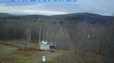
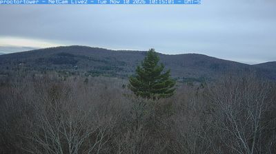
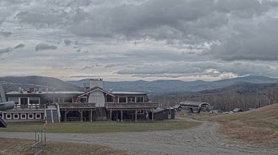
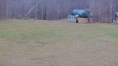
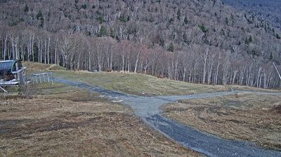
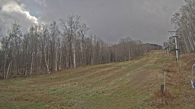
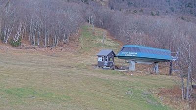




Recently added webcams
Explore cities and regions of Vermont
Vermont
195 webcams 72 cities
Alburgh
3 webcams
Bakersfield
2 webcams
Berkshire
2 webcams
Berlin
1 webcam
Bethel
1 webcam
Bolton
2 webcams
Brandon
1 webcam
Brattleboro
4 webcams
Brookfield
4 webcams
Buels Gore
2 webcams
Burlington
7 webcams
Cabot
2 webcams
Cambridge
2 webcams
Clarendon
2 webcams
Colchester
4 webcams
Derby
1 webcam
Dover
4 webcams
Essex
1 webcam
Fair Haven
1 webcam
Fairfax
2 webcams
Fayston
5 webcams
Ferrisburgh
2 webcams
Grand Isle
2 webcams
Guilford
1 webcam
Hardwick
2 webcams
Hartford
8 webcams
Jay
4 webcams
Jericho
1 webcam
Killington
11 webcams
Lincoln
1 webcam
Lowell
2 webcams
Ludlow
5 webcams
Lyndon
1 webcam
Maidstone
2 webcams
Marlboro
2 webcams
Mendon
1 webcam
Middlesex
2 webcams
Milton
7 webcams
Montpelier
2 webcams
Mount Holly
3 webcams
Newbury
1 webcam
North Hero
1 webcam
Panton
2 webcams
Peru
2 webcams
Pomfret
1 webcam
Ripton
1 webcam
Rockingham
4 webcams
Saint Johnsbury
2 webcams
Searsburg
2 webcams
Shaftsbury
2 webcams
Shrewsbury
1 webcam
Somerset
1 webcam
South Burlington
5 webcams
Springfield
2 webcams
Stowe
6 webcams
Stratton
3 webcams
Thetford
2 webcams
Topsham
2 webcams
Tunbridge
1 webcam
Underhill
3 webcams
Wallingford
6 webcams
Warren
9 webcams
Waterbury
9 webcams
Waterford
2 webcams
Waterville
1 webcam
Weathersfield
1 webcam
West Rutland
2 webcams
Westfield
2 webcams
Westminster
2 webcams
Williston
2 webcams
Winhall
1 webcam
Woodford
2 webcams