Machakos County
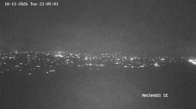
Built around agricultural settlements and market links east of Nairobi, Machakos County developed into an important part of Kenya’s lower-eastern region. Its terrain shifts from the Athi River plains to the Yatta Plateau and the hills around Machakos town, creating a drier setting than the capital nearby. The county is closely associated with the Akamba people, whose language, music and woodcarving traditions remain central to local identity. Ol Doinyo Sabuk National Park, centred on a prominent hill near the county’s northwestern edge, adds a protected landscape to the wider area. Browse additional webcams from the surrounding area to extend your view of Machakos County. Generated by AI


Featured webcams
Popular webcams
Recently added webcams
Explore cities and regions of Machakos County
Machakos County
1 webcam 1 city