Matabeleland North Province
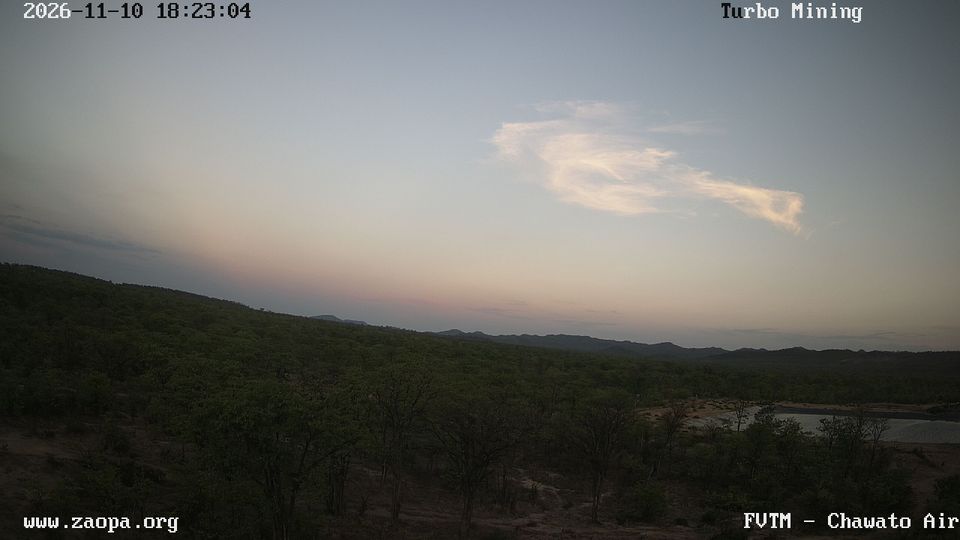
Matabeleland North has been part of the historic Ndebele heartland in what is now Zimbabwe since the nineteenth century. Its northwest reaches the Zambezi River at Victoria Falls, where the river plunges into a narrow basalt gorge and forms the border with Zambia. Farther south, Hwange National Park spans Kalahari sands, teak woodland and seasonal pans; Zimbabwe’s largest national park is especially associated with its elephant herds. The provincial capital, Lupane, reflects the area’s administrative role, while rail and road links connect the interior with Bulawayo and Victoria Falls. Browse other webcams across Matabeleland North to place this setting in a wider geographic context. Generated by AI

Featured webcams
Popular webcams
Recently added webcams
Explore cities and regions of Matabeleland North Province
Matabeleland North Province
1 webcam 1 city