Miranda State
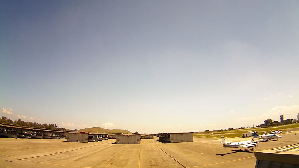
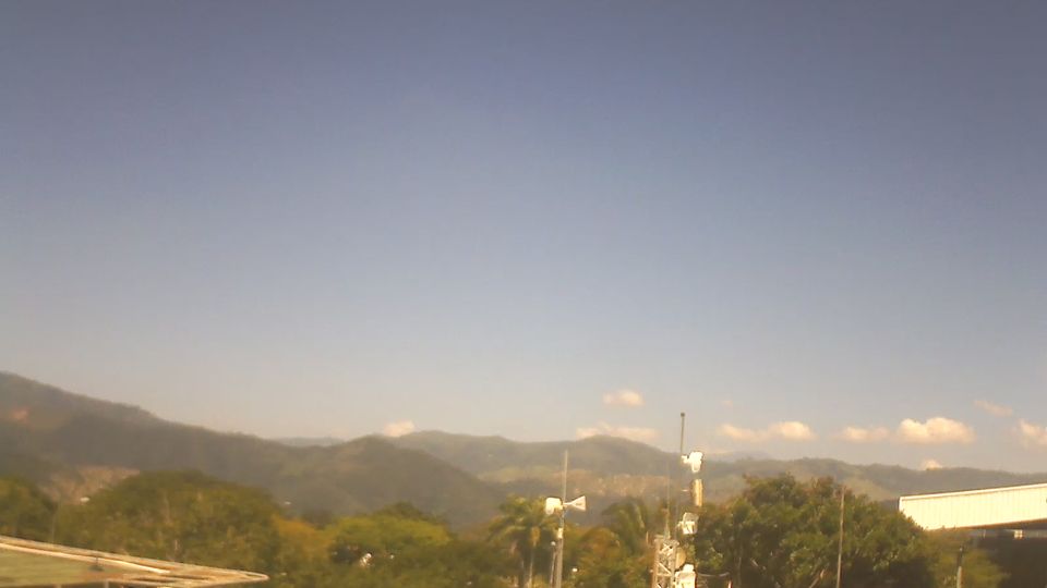
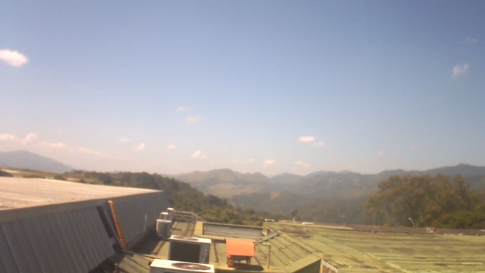
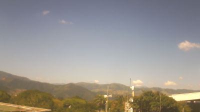
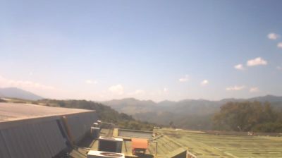
The Caribbean coast and the Cordillera de la Costa define much of Miranda — their slopes, valleys and lowlands support agriculture, cacao growing and communities closely connected with metropolitan Caracas. The Tuy River runs through the state’s central and southern districts, while the coastal Barlovento area is associated with cacao and Afro-Venezuelan musical traditions, especially drum-based celebrations. Los Teques, Miranda’s capital, lies in the inland highlands west of Caracas. From beach towns to humid mountain terrain, the state brings together distinct parts of north-central Venezuela. Trace Miranda’s links between the Caribbean shore, mountain slopes and Caracas by browsing webcams nearby. Generated by AI


Featured webcams

Popular webcams
Recently added webcams
Explore cities and regions of Miranda State
Miranda State
4 webcams 1 city