North Tzoumerka Municipality
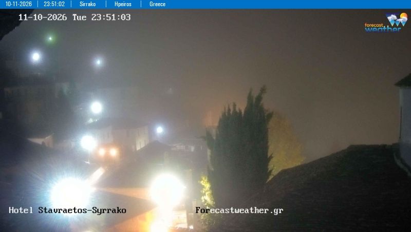
North Tzoumerka Municipality has served as a mountain heartland within Epirus since antiquity. Set in the rugged Tzoumerka, or Athamanika, range, it is a region of steep slopes, deep ravines and stone-built settlements connected by old mountain roads. The Kalarritikos River runs through this highland terrain before joining the Arachthos, while villages such as Pramanta, Kalarrytes and Syrrako retain the distinctive architecture of Epirus: slate roofs, narrow lanes and arched bridges. Kalarrytes is particularly associated with a long tradition of silversmithing, and the rock-built Kipina Monastery is among the area’s notable religious sites. Browse additional webcams from the surrounding area to extend your view of North Tzoumerka. Generated by AI
1 webcam

Featured webcams

Popular webcams
Recently added webcams