Kyoto Prefecture
The terrain of Kyoto Prefecture ranges from the rugged Sea of Japan coast in the north to the lowlands of the Kyoto Basin in the south, creating pronounced contrasts within a compact area. The Tango Peninsula and the celebrated sandbar of Amanohashidate define the northern shore, while the prefectural capital is threaded by the Kamo River. Kyoto was Japan’s imperial capital for more than a millennium, and its temples, shrines and traditional districts remain central to the country’s cultural identity. Uji, south of Kyoto City, is also closely associated with Japanese green tea. Discover other points of interest through webcams located across Kyoto Prefecture. Generated by AI
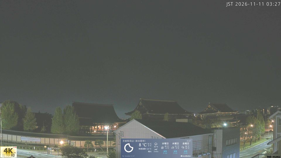

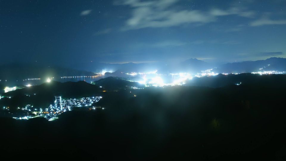
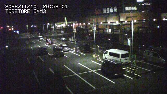
Featured webcams



Popular webcams
Recently added webcams
Explore cities and regions of Kyoto Prefecture
Kyoto Prefecture
6 webcams 4 cities