Udon Thani Province
The terrain of Udon Thani Province ranges from the gently rolling Khorat Plateau across its central and eastern districts to the wooded foothills of the Phetchabun Range in the west, creating a province of broad agricultural plains and higher forest margins. In Thailand’s northeast, Udon Thani is also associated with Nong Han Kumphawapi, a shallow lake known for seasonal red lotus blooms. Its foremost cultural landmark is the Ban Chiang Archaeological Site, inscribed on UNESCO’s World Heritage List in 1992 for evidence of prehistoric settlement and early metalworking. Udon Thani city is a regional commercial centre, while local markets and food reflect Isan’s Lao-influenced traditions. See how Udon Thani Province connects with northeastern Thailand by browsing webcams nearby. Generated by AI


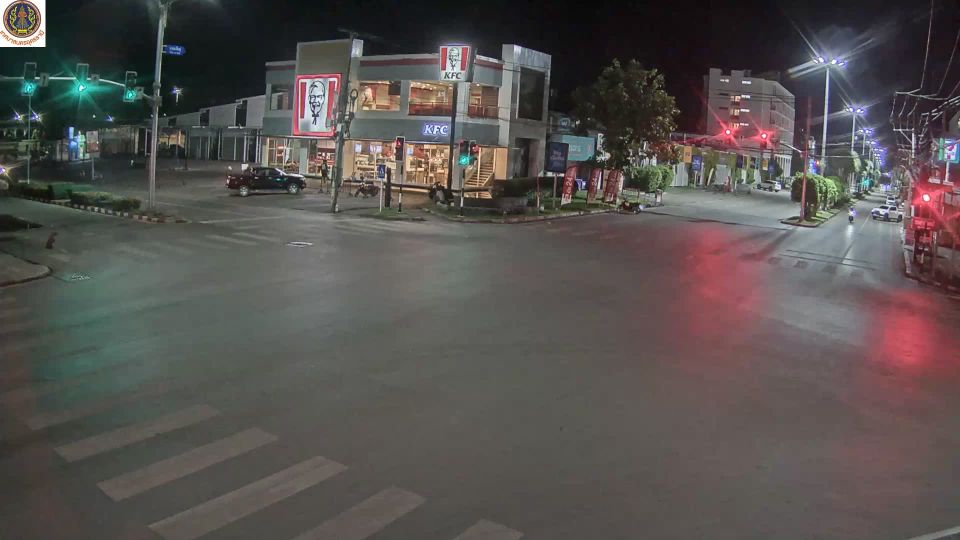


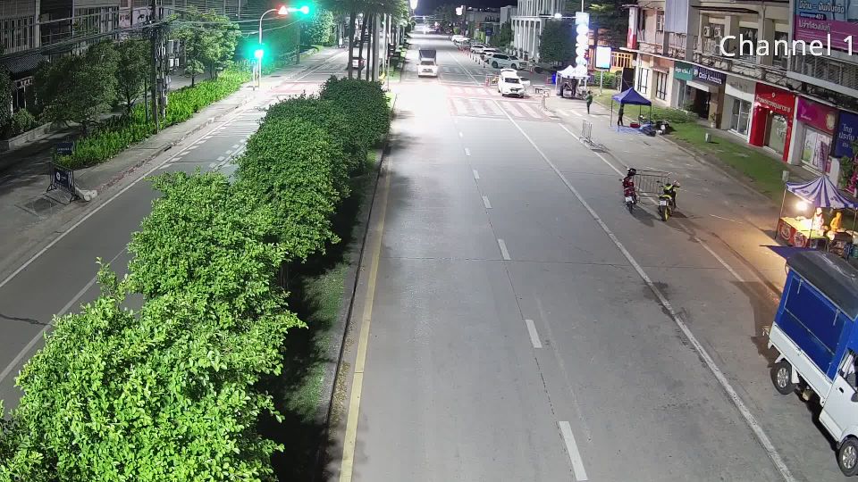

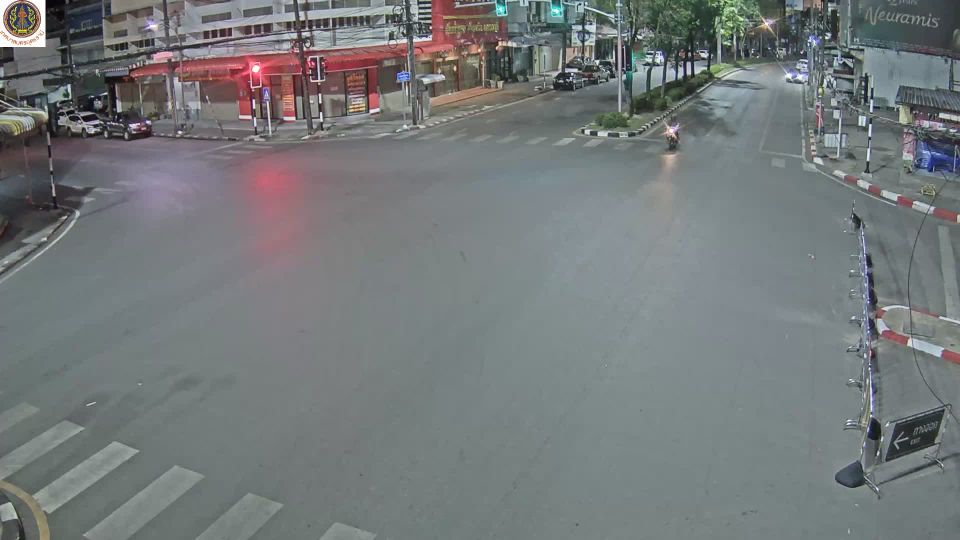

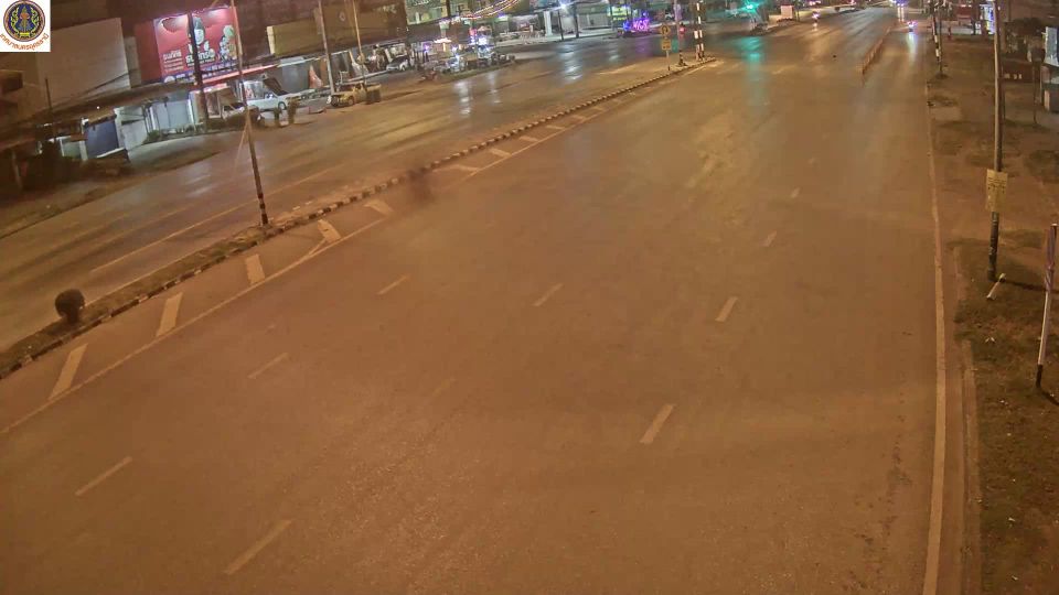
Featured webcams










Popular webcams
Recently added webcams
Explore cities and regions of Udon Thani Province
Udon Thani Province
10 webcams 3 cities