Harney County
Harney County has served as a frontier region within southeastern Oregon since the late nineteenth century. Oregon’s largest county by area, it is defined by the open high desert of the Harney Basin, where Malheur Lake and the marshes of Malheur National Wildlife Refuge form an important wetland complex. The Donner und Blitzen River flows north toward the lake, while Steens Mountain gives the county’s southern horizon a markedly different scale. Burns, the county seat, is also near the Burns Paiute Tribe’s reservation. Explore additional webcams nearby to better understand how Harney County connects with Oregon’s high-desert interior. Generated by AI
4 webcams
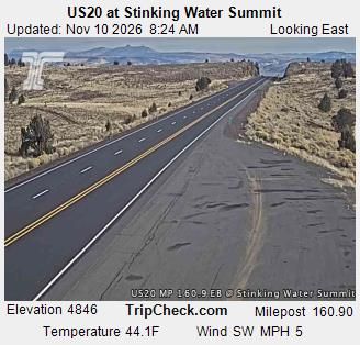

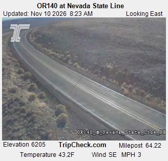

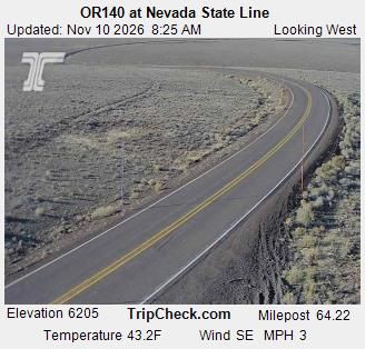
Featured webcams

Popular webcams