West Nusa Tenggara
The terrain of West Nusa Tenggara ranges from Lombok’s volcanic slopes in the west to Sumbawa’s drier hills and long coastlines in the east, creating a province shaped by islands and sea passages. The Alas Strait separates its two main islands, while Mount Rinjani rises over northern Lombok and Mount Tambora marks eastern Sumbawa. Tambora’s 1815 eruption ranks among the most powerful volcanic events in recorded history. Sasak communities are central to Lombok’s identity, while Sumbawa has its own Samawa traditions. Coral-fringed shores, farming districts and volcanic country give the province distinctly varied local character. Continue with other webcams from the area to see how this part of West Nusa Tenggara connects regionally. Generated by AI
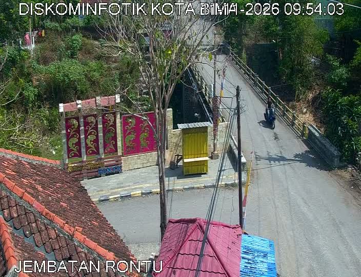

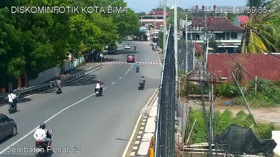
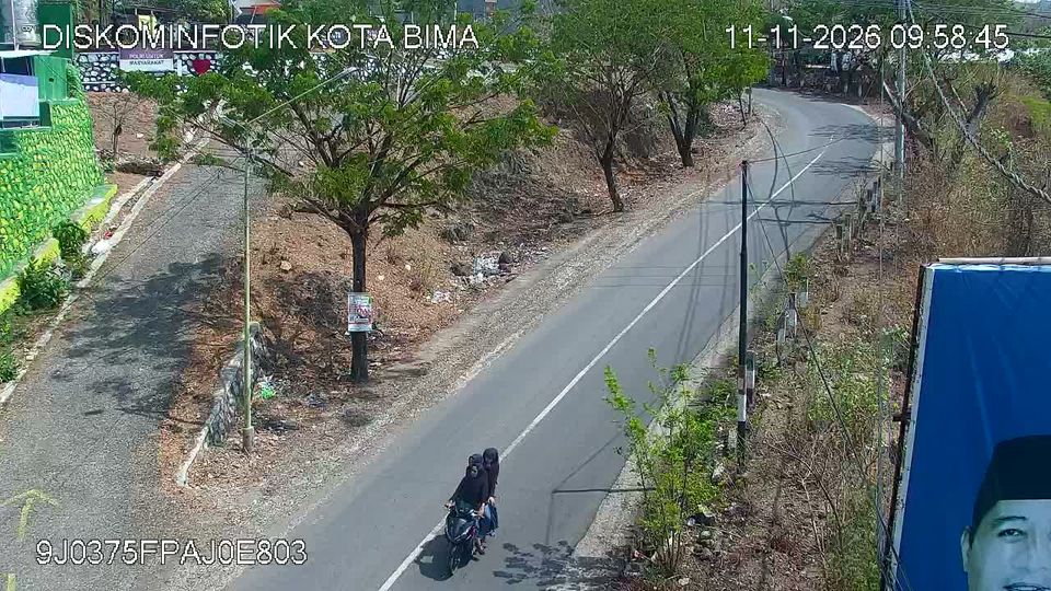
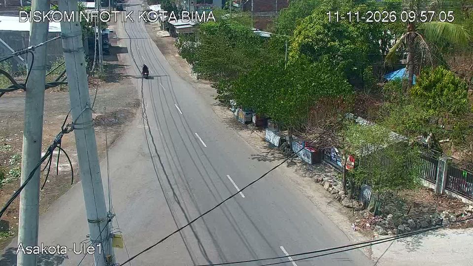
Featured webcams



Popular webcams
Recently added webcams
Explore cities and regions of West Nusa Tenggara
West Nusa Tenggara
5 webcams 1 city