Sandoy region
Sandsvatn and Sandoy’s low, rolling moorland define much of the Sandoy region — this gentler terrain has long supported sheep grazing and farming, giving the area a different rhythm from the Faroes’ sharper mountain islands. Sandsvatn is the archipelago’s largest lake, set close to Sandur, the island’s principal settlement. Open fields run towards a coast of bays, cliffs and North Atlantic weather. Sandur is also an important archaeological site, with evidence of Norse-age settlement. Since the Sandoyartunnilin linked the island with Streymoy in 2023, the region has become more directly connected to Tórshavn. Trace the Sandoy region’s place in the wider Faroese island chain by browsing nearby webcams. Generated by AI
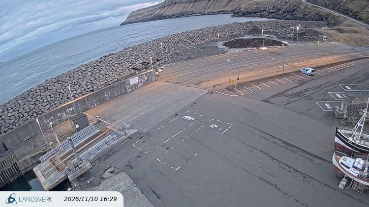

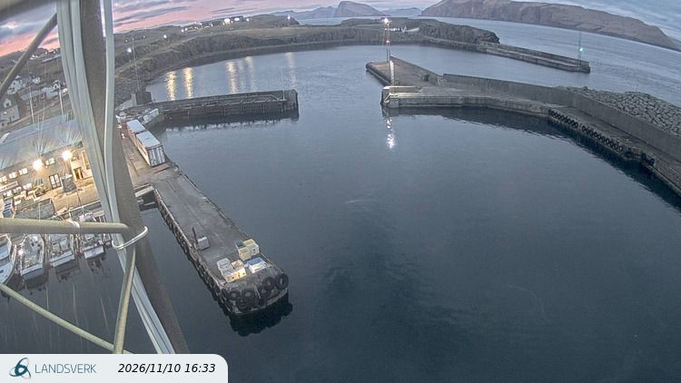
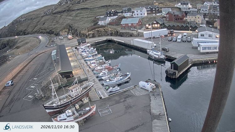
Featured webcams

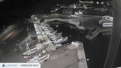
Popular webcams
Recently added webcams
Explore cities and regions of Sandoy region
Sandoy region
3 webcams 1 city
Sandur
3 webcams