Bogota, Capital District
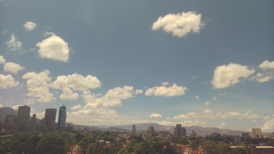
Bogotá Capital District extends from the Sumapaz páramo in the south to the Bogotá River on the western plain, encompassing a high Andean metropolis alongside farmland, forest and protected uplands. At more than 2,600 metres above sea level, Colombia’s capital sits on the Sabana de Bogotá beneath the Eastern Hills, whose wooded slopes form a defining eastern edge to the city. La Candelaria preserves the colonial core around Plaza de Bolívar, where the Cathedral, Capitol and city institutions concentrate national civic life. Beyond the centre, neighbourhoods spread across a vast basin shaped by cool temperatures and rapid weather changes. Discover how Bogotá Capital District connects with the Andes and the Sabana de Bogotá by browsing webcams nearby. Generated by AI

Featured webcams
Popular webcams
Recently added webcams
Explore cities and regions of Bogota, Capital District
Bogota, Capital District
1 webcam 1 city