Carpentaria Shire
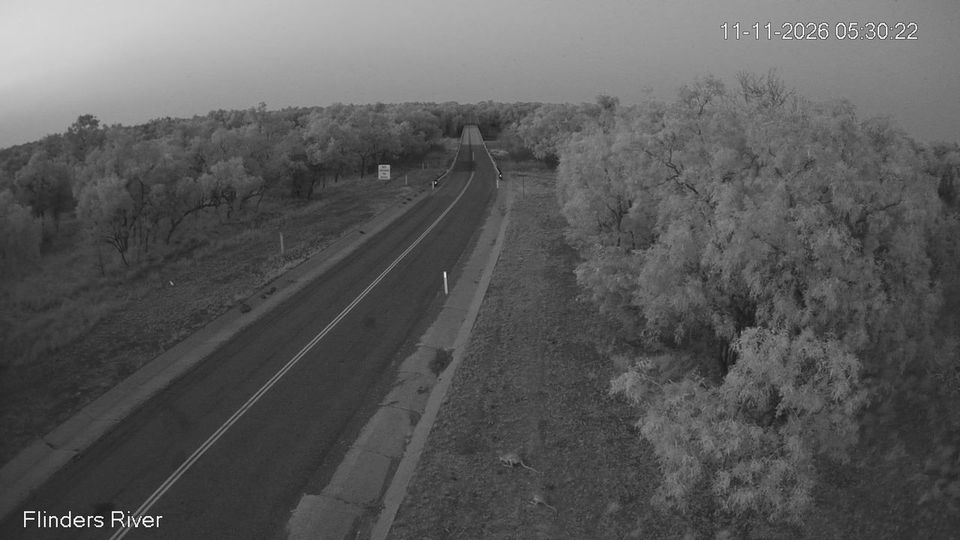
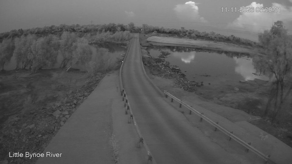
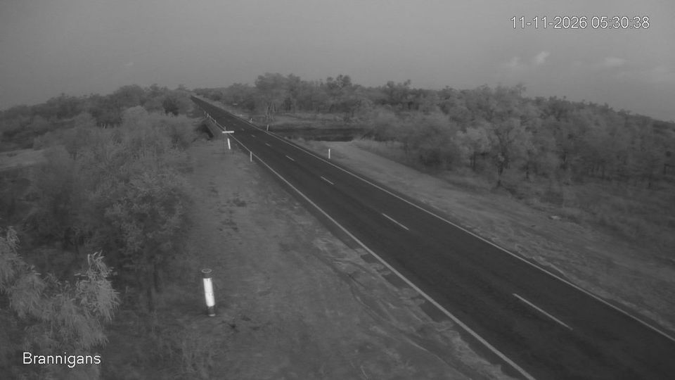
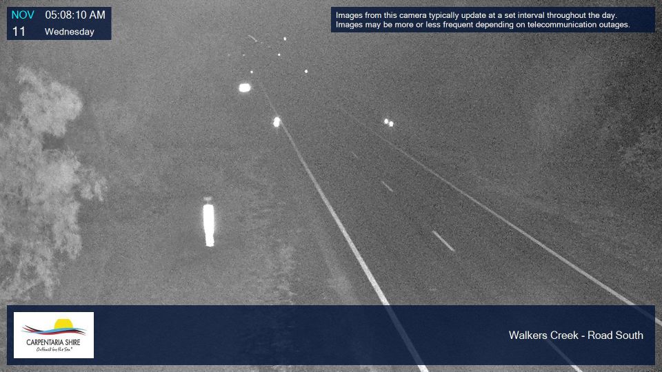
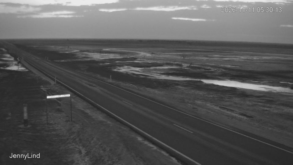
Carpentaria Shire combines a remote Gulf coastline with wide inland savanna in a way that reflects its position within Queensland’s Gulf Country. Its settlements are spread across a large, lightly populated local-government area facing the Gulf of Carpentaria, where wet and dry seasons strongly shape travel, grazing and fishing. Normanton is the shire’s administrative centre, while Karumba stands at the mouth of the Norman River as a Gulf fishing town. The historic Gulflander railway connects Normanton with Croydon, recalling the rail link created for the region’s gold-mining era. Discover other points of interest through webcams located across Carpentaria Shire. Generated by AI
7 webcams

Featured webcams


Popular webcams