Lewis County
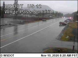
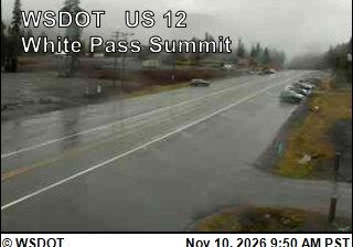
The terrain of Lewis County ranges from broad river lowlands in its western half to densely forested Cascade foothills in the east, giving it a transitional character between western Washington’s valleys and high country. The Chehalis River drains much of the county’s west, while the Cowlitz River crosses its eastern and southern landscapes, including Mayfield Lake. Chehalis, the county seat, and nearby Centralia are the main urban centres, positioned along the long-established north–south transport corridor through southwest Washington. Working forests, farms and river valleys shape the wider county, with routes extending toward the Cascade crest and Mount Rainier country. Continue with other webcams from the area to see how this part of southwest Washington connects regionally. Generated by AI
1 webcam

Featured webcams
Popular webcams
Recently added webcams